Piz Polaschin
#1433 among destinations in Switzerland

Facts and practical information
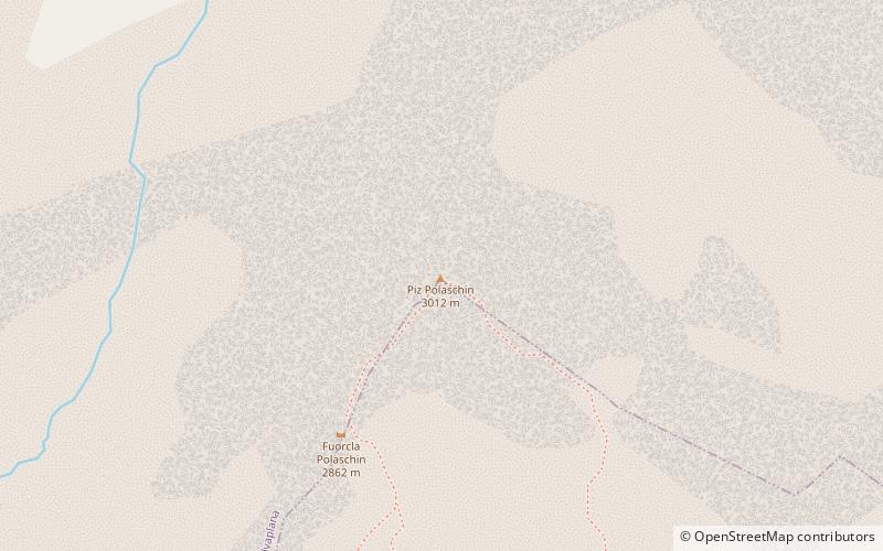
Piz Polaschin is a mountain of the Albula Alps, overlooking Silvaplana in the canton of Graubünden, Switzerland. It lies east of Piz Lagrev, on the range south of the Julier Pass. ()
GraubündenSwitzerland
Piz Polaschin – popular in the area (distance from the attraction)
Nearby attractions include: Piz Nair, Lake Sils, Lake Silvaplana, Via Alpina.
 Natural attraction, Mountain, Lookout
Piz Nair, St. Moritz
91 min walk • Piz Nair is a towering presence in the luxury alpine resort town of St. Moritz, Switzerland. Rising to an impressive 3,056 meters above sea level, this mountain grants visitors a breathtaking panorama of the Engadin valley and the surrounding peaks of the Swiss Alps.
 Nature, Natural attraction, Lake
Lake Sils
78 min walk • Nestled in the heart of the Swiss Alps, Lake Sils is a serene and picturesque natural wonder that captivates visitors with its crystal-clear waters and breathtaking mountainous backdrop. This stunning glacial lake, situated in the Upper Engadine valley of Switzerland...
 Nature, Natural attraction, Lake
Lake Silvaplana, Silvaplana
53 min walk • Lake Silvaplana is a lake in the Upper-Engadine valley of Grisons, Switzerland. It takes its name from the village of Silvaplana. The lake is also connected to the nearby Lej da Champfèr. Together with its larger neighbour, Lake Sils, it is among the largest lakes of the Grisons.
 Hiking trail, Hiking
Via Alpina
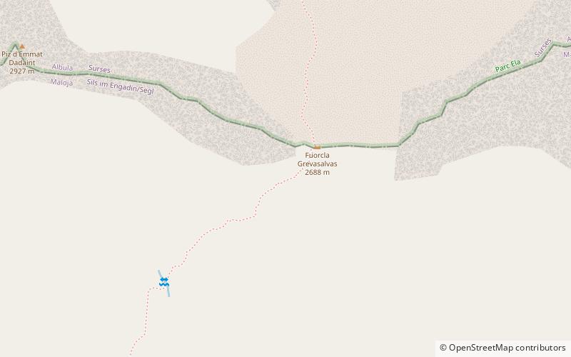
65 min walk • The Via Alpina is a network of five long-distance hiking trails across the alpine regions of Slovenia, Austria, Germany, Liechtenstein, Switzerland, Italy, France, and Monaco.
 Nature, Natural attraction, Lake
Lej da la Tscheppa
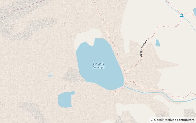
18 min walk • Lej da la Tscheppa is a lake above Sils Maria, in the Engadine valley of the Grisons, Switzerland. Its surface area is 7.96 ha at an elevation of 2616 m. It used to be fed by water from the Crasta-Tscheppa Glacier.
 Prominent mountain with dramatic views
Piz Julier
54 min walk • Piz Julier is a mountain of the Albula Alps, overlooking the Julier Pass, in the Swiss canton of Graubünden. With a height of 3,380 metres above sea level, Piz Julier is the second highest peak of the group between the Julier Pass and the Albula Pass.
 Natural attraction, Valley, Forest
Val Fex
86 min walk • Val Fex is a southern side valley from the Upper Engadine in Switzerland, located at an altitude of around 1,800 to 2,000 metres above sea level. It belongs to the municipality of Sils im Engadin/Segl.
 Museum, Specialty museum, History museum
Nietzsche-Haus
59 min walk • The Nietzsche-Haus is a house in Sils Maria in the Engadin region of Switzerland, where the German philosopher Friedrich Nietzsche lived during the summers of 1881 and from 1883 to 1888.
 Nature, Natural attraction, Lake
Lej Nair
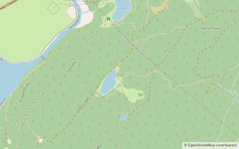
83 min walk • Lej Nair is a lake above Silvaplana in the Engadin valley, Grisons, Switzerland. A hiking trail leads from Lej Marsch to Lej Nair. Hahnensee and Lej Zuppo are located close by.
 Mountain pass
Julier Pass, Sils im Engadin/Segl
37 min walk • The Julier Pass is a mountain pass in Switzerland, in the Albula Alps. It connects the Engadin valley with central Graubünden, the nearest inhabited localities on its approaches being Silvaplana and Bivio.
 Mountain
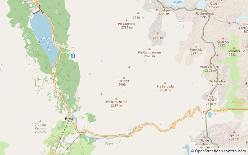
Piz Neir, Sils im Engadin/Segl
98 min walk • Piz Neir is a mountain of the Albula Alps, overlooking Bivio in the canton of Graubünden. It lies on the group south of Piz d'Agnel.
