Piz Vadret

Gallery (1)
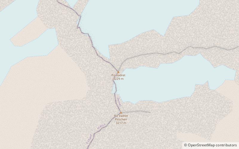
Map
Map
Facts and practical information
Piz Vadret is a mountain of the Albula Alps, in Graubünden. With an altitude of 3,229 metres above sea level, Piz Vadret is the highest mountain of the Albula Alps north of Piz Kesch. At the base of the north face lies a glacier named Vadret da Grialetsch. The closest locality is Brail, in the Engadin. ()
Location
Graubünden
ContactAdd
Social media
Add
Day trips