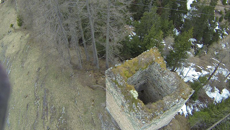
Spliatsch Castle

Gallery (5)
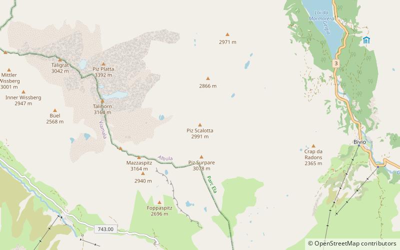
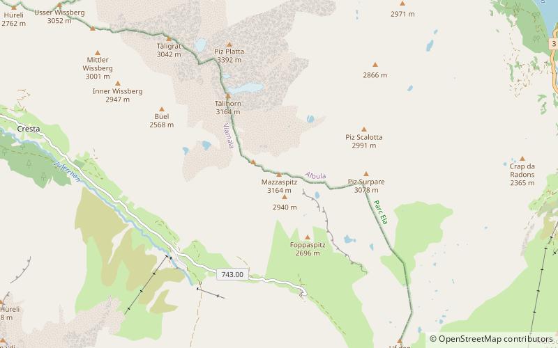
Map

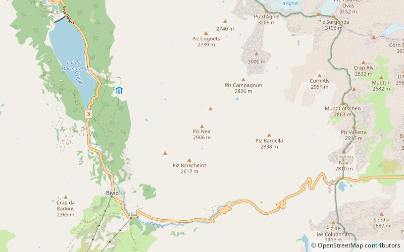
Map

Gallery
Facts and practical information
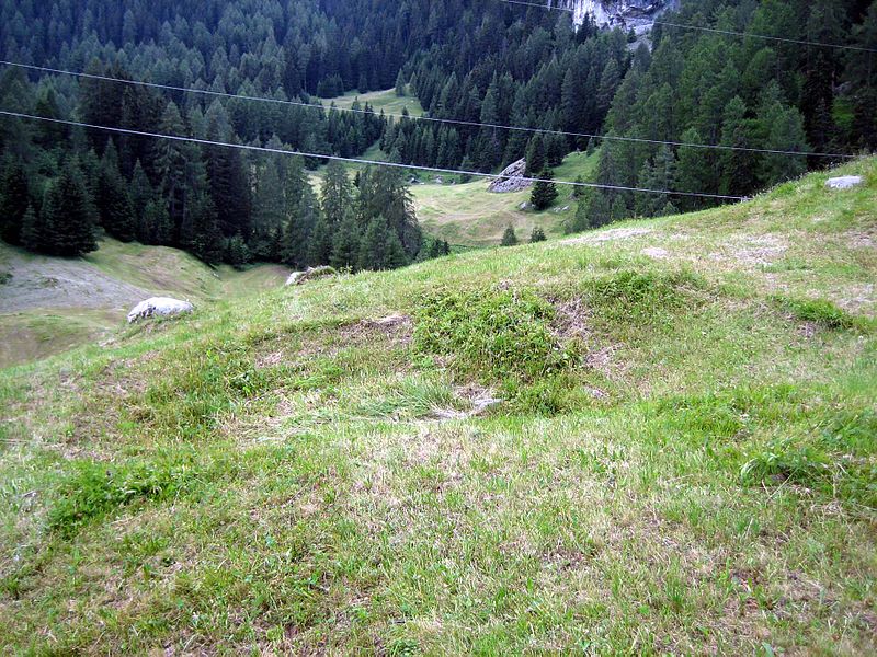
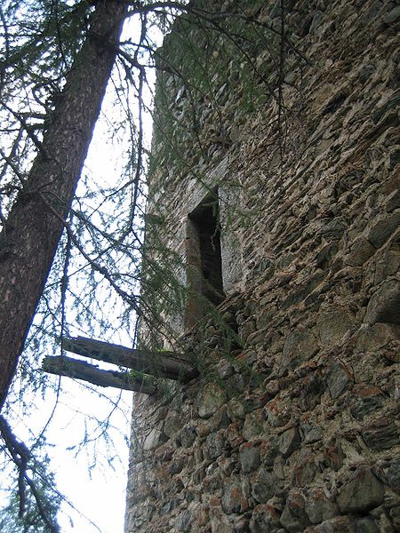
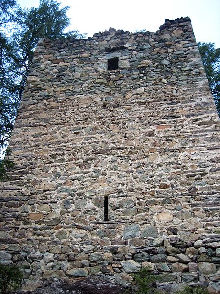
Spliatsch Castle is a ruined castle in the municipality of Surses in the Albula Region in the canton of Graubünden in Switzerland. ()
Day trips
Spliatsch Castle is a ruined castle in the municipality of Surses in the Albula Region in the canton of Graubünden in Switzerland. ()
Where to next? Visit ![]() Graubünden region page or discover the top tourist attractions in Switzerland.
Graubünden region page or discover the top tourist attractions in Switzerland.