Piz Platta
Map

Map

Facts and practical information
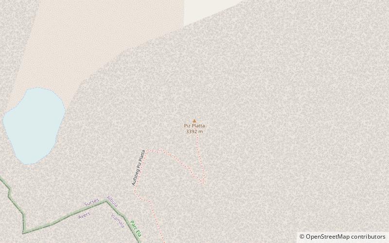
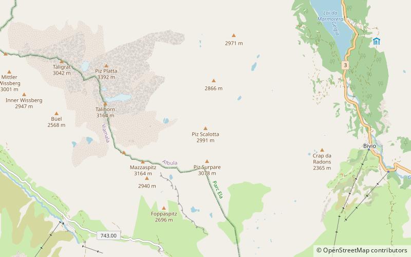
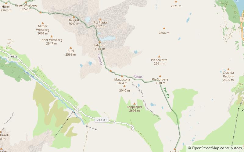
Piz Platta is the highest peak in the Oberhalbstein Alps. It is 3392 metres high, and is notable for its similarity in shape to the Matterhorn. Piz Platta is located between the localities of Avers and Mulegns, both in the Swiss canton of Graubünden. ()
Location
Graubünden
ContactAdd
Social media
Add
Day trips
Piz Platta – popular in the area (distance from the attraction)
Nearby attractions include: Lai Blos, Marmels Castle, Lägh dal Lunghin, Usser Wissberg.


