Pizzo Muncréch
#1791 among destinations in Switzerland

Facts and practical information
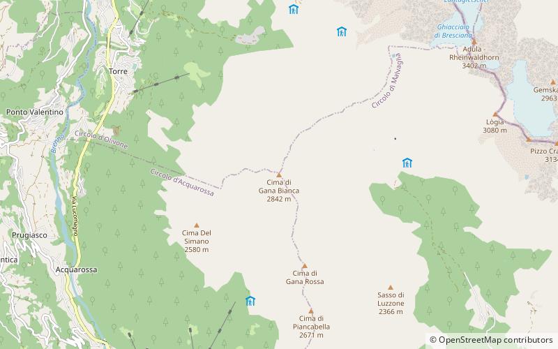
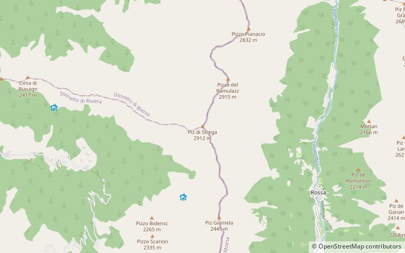
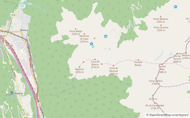
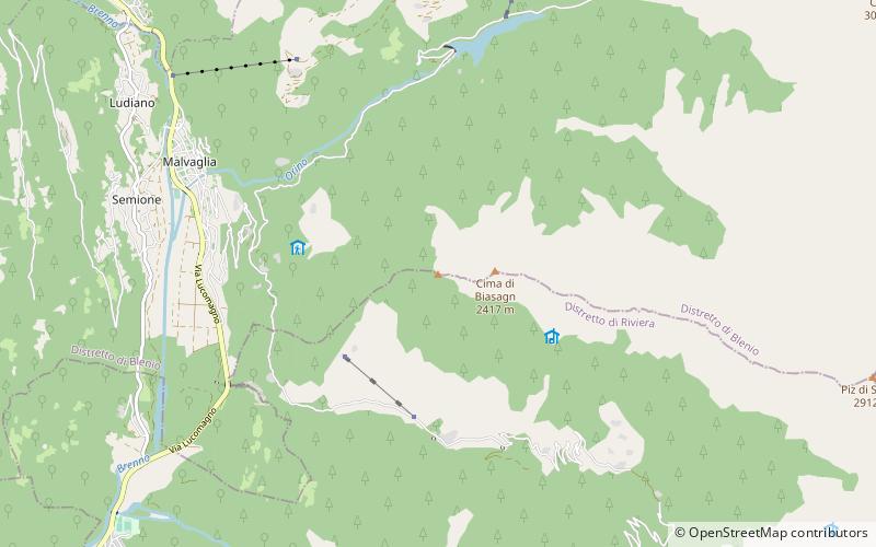
Pizzo Muncréch is a mountain in the Swiss Lepontine Alps, overlooking Malvaglia in the canton of Ticino. It is located west of Piz di Strega, between the valleys of Combra and Pontirone. ()
TicinoSwitzerland
Pizzo Muncréch – popular in the area (distance from the attraction)
Nearby attractions include: Cima Rossa, Pizzo Magn, Cima di Gana Bianca, Piz di Strega.
4.4 miNENature, Natural attraction, MountainCima Rossa
113 min walk • Cima Rossa is a 3,161 metres high mountain in the Lepontine Alps, located on the border between the cantons of Ticino and Graubünden. On the west side it overlooks the valley of Malvaglia and on the east side it overlooks the valley of Calanca.
2.7 miSNature, Natural attraction, MountainPizzo Magn
70 min walk • Pizzo Magn or Monte Crenone is a mountain of the Swiss Lepontine Alps, overlooking Biasca in the canton of Ticino. It is located west of the Mottone di Cava.
5.1 miNNature, Natural attraction, MountainCima di Gana Bianca
130 min walk • The Cima di Gana Bianca is a mountain of the Swiss Lepontine Alps, overlooking Acquarossa in the canton of Ticino. It lies west of the Rheinwaldhorn, between the main Blenio valley and the Val Malvaglia.
3.3 miENature, Natural attraction, MountainPiz di Strega
85 min walk • Piz di Strega is a mountain in the Lepontine Alps, overlooking Pass Giümela on the border between the cantons of Ticino and Graubünden. Its summit lies south of Pizzo di Ramulazz.
1.7 miNNature, Natural attraction, LakeBacino di Val Malvaglia
43 min walk • Bacino di Val Malvaglia is a lake above Malvaglia in the canton of Ticino, Switzerland. The reservoir's surface area is 0.19 km². Its arch dam was built in 1959 and is operated by Officine Idroelettriche di Blenio SA.
3.7 miSNature, Natural attraction, MountainCima di Biasca
96 min walk • The Cima di Biasca is a mountain of the Swiss Lepontine Alps, located southeast of Biasca in the canton of Ticino.
4.6 miSENature, Natural attraction, MountainTorent Alto
118 min walk • The Torent Alto is a mountain of the Swiss Lepontine Alps, located on the border between the cantons of Ticino and Graubünden. It is the highest mountain lying on the chain between Pass Giümella, east of Biasca and Bellinzona.
4 miNENature, Natural attraction, MountainCima dei Cogn
102 min walk • Cima dei Cogn is a mountain in the Lepontine Alps, located on the border between the cantons of Ticino and Graubünden. It lies south of the higher Cima Rossa.
3 miNWNature, Natural attraction, ValleyBlenio Valley
77 min walk • The Blenio Valley is a valley of the Lepontine Alps in the Swiss canton of Ticino. The valley contains the river Brenno. The upper valley, between Lai da Sontga Maria and Olivone, is named Valle Santa Maria.
4.5 miWNature, Natural attraction, MountainMatro
116 min walk • The Matro is a mountain of the Swiss Lepontine Alps, overlooking Giornico in the canton of Ticino. It lies at the southern end of the chain separating the main Leventina valley from the Blenio valley. An antenna is located on the summit.
3.5 miSWChurchChurch of Saints Peter and Paul, Biasca
91 min walk • The church of Sts. Peter and Paul stands east above the village of Biasca on a rocky ridge in the Swiss canton of Ticino. It was built between the end of the 11th and the beginning of the 12th centuries and, with its gallery of murals from various...