Combin de la Tsessette

Gallery (1)
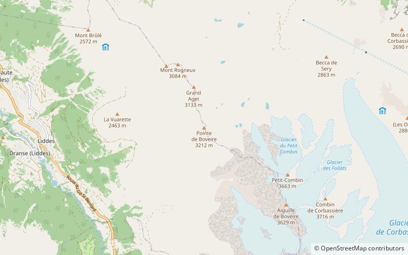
Map
Map
Facts and practical information
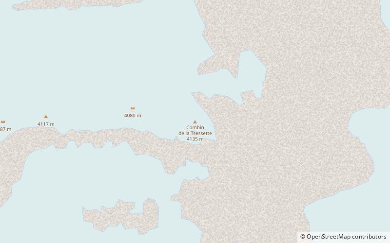
The Combin de la Tsessette is the third highest summit in the Grand Combin massif. It lies east of the Grand Combin summit and overlooks the Lac de Mauvoisin. ()
Location
Valais
ContactAdd
Social media
Add
Day trips