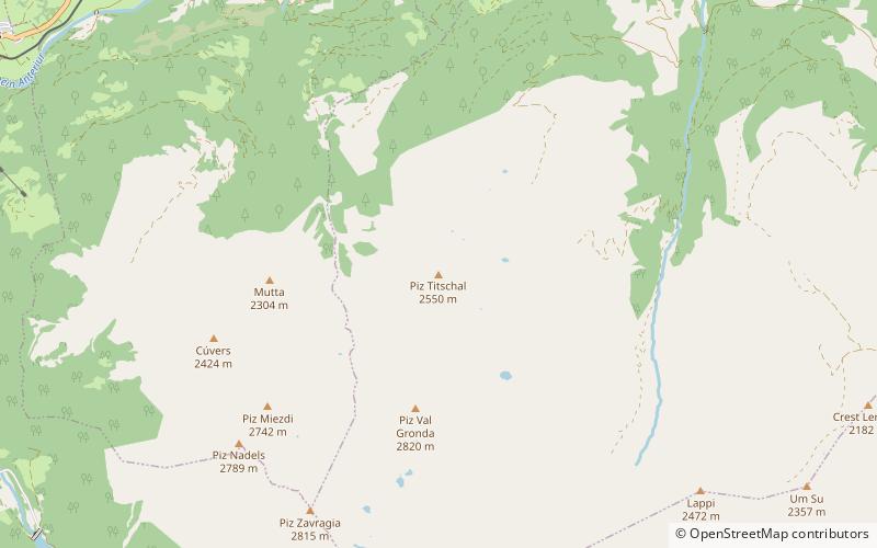
Trun
#2416 among destinations in Switzerland
![blank map](https://tzassets.b-cdn.net/static/img/blank-map-colors-sm.png)
![Trun](https://tzmedia.b-cdn.net/media/images/ch/place/gallery/medium/2840f285be7a8d6e8c95fdbcbab08492.jpg)
Facts and practical information
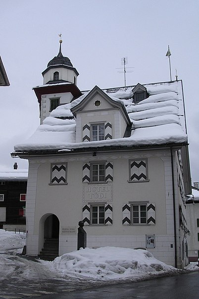
Trun is a municipality in the Surselva Region in the canton of Graubünden in Switzerland. The municipality of Schlans merged on 1 January 2012 into the municipality of Trun. ()
Trun plan & book
Unleash the traveler in you — discover the cheapest flight deals, find the perfect hotel or hostel nearby, and search for the best car rental prices. Travel at your own pace to discover new places and enjoy your journey.
Trun – popular in the area (distance from the attraction)
Nearby attractions include: Kropfenstein Castle, Tödi, Lag da Breil, Lag da Laus.
5.6 miEForts and castlesKropfenstein Castle
144 min walk • Kropfenstein Castle is a type of castle known as a cave castle in the municipality of Waltensburg/Vuorz of the Canton of Graubünden in Switzerland. It is a Swiss heritage site of national significance.
5.9 miNWNature, Natural attraction, MountainTödi
151 min walk • The Tödi, is a mountain massif and with the mountain peak Piz Russein the highest mountain in the Glarus Alps and the highest summit in the canton of Glarus, Switzerland.
4.4 miNENature, Natural attraction, LakeLag da Breil
112 min walk • The Lag da Breil is a lake located east of Breil/Brigels in the canton of Graubünden. It lies at a height of 1,255 metres above sea level and has a maximum length of 500 metres. In summer the Lag da Breil is used as a bathing lake.
4.4 miSWNature, Natural attraction, LakeLag da Laus
113 min walk • Lag da Laus is a small lake within the municipality of Sumvitg in the Grisons, Switzerland. There is no real tributary to the lake and the outflow will disappear in the underground after some distance as the area consists of landslide debris.
4.5 miNNature, Natural attraction, MountainBifertenstock
115 min walk • The Bifertenstock is a mountain in the Glarus Alps, located at an elevation of 3,419 m on the border between the cantons of Glarus and Graubünden, its peak, however, is located about 25 metres south of the border.
6.3 miSWNature, Natural attraction, MountainPiz Muraun
160 min walk • Piz Muraun is a mountain of the Swiss Lepontine Alps, located near Disentis in the canton of Graubünden. It lies between the Val Medel and the Val Sumvitg.
7.4 miNWHiking, Alpine hutPlanura Hut
189 min walk • The Planura Hut is a mountain hut of the Swiss Alpine Club, located on the border between the cantons of Uri and Glarus, between Amsteg and Linthal.
4 miEForts and castlesSchwarzenstein Castle
102 min walk • Schwarzenstein Castle is a ruined castle in the municipality of Obersaxen Mundaun of the Canton of Graubünden in Switzerland.
3.5 miEForts and castlesHeidenberg Castle
91 min walk • Heidenberg Castle is a ruined castle in the municipality of Obersaxen Mundaun of the Canton of Graubünden in Switzerland.
3.1 miSENature, Natural attraction, MountainPiz Titschal
78 min walk • Piz Titschal is a mountain of the Swiss Lepontine Alps, located south of Obersaxen in the canton of Graubünden.
5.3 miNHiking, Alpine hutBifertenhütte
135 min walk • The Bifertenhütte is a mountain hut of the Basel Academic Alpine Club in the canton of Graubünden in Switzerland.