Albula District, Lenzerheide
Map
Facts and practical information
Albula District was one of the eleven administrative districts in the canton of Graubünden in Switzerland. It had an area of 723.13 km² and had a population of 8,210 in 2015. It was replaced with the Albula Region on 1 January 2017 as part of a reorganization of the Canton. ()
Address
Lenzerheide
ContactAdd
Social media
Add
Getting there by public transportation
Public transportation stops near this location
- Bus
 Bus
Bus
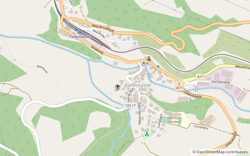
- Calculate routeTiefencastel, Dorf 3 min walk
- Calculate routeVazerol 16 min walk
- Calculate routeLantsch/Lenz, Sozas 25 min walk
Day trips


Frequently Asked Questions (FAQ)
How to get to Albula District by public transport?
The nearest stations to Albula District:
Bus
Bus
- Tiefencastel, Dorf • Lines: 182 (3 min walk)
- Vazerol • Lines: 182 (16 min walk)