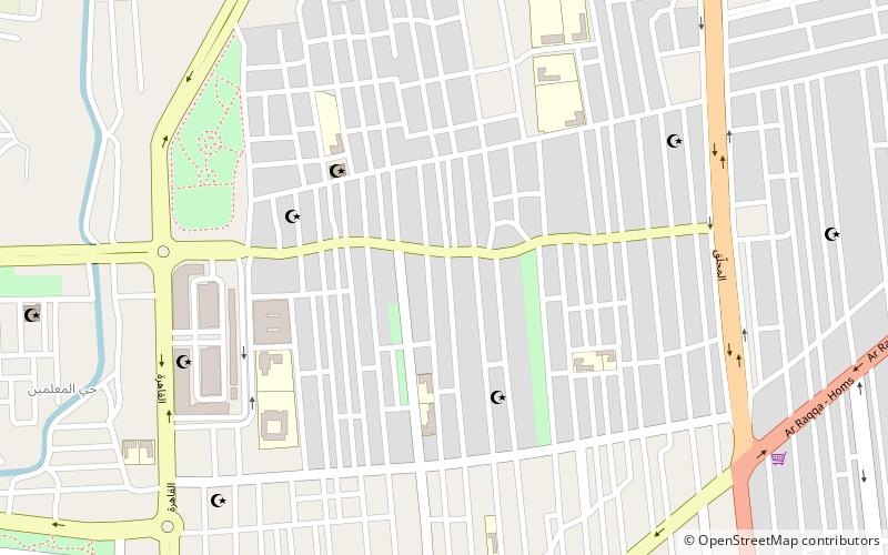
Al-Bayadah, Homs
Map
Facts and practical information
Al-Bayadah is a quarter of Homs, the capital of Homs Governorate. In 2004 it had a population of 35,000. ()
Coordinates: 34°44'57"N, 36°43'42"E
Address
Homs
ContactAdd
Social media
Add
Getting there by public transportation
Public transportation stops near this location
- Bus
 Bus
Bus
- Calculate routeHoms Bus Station North 31 min walk
Day trips


Frequently Asked Questions (FAQ)
How to get to Al-Bayadah by public transport?
The nearest stations to Al-Bayadah:
Bus
Bus
- Homs Bus Station North (31 min walk)