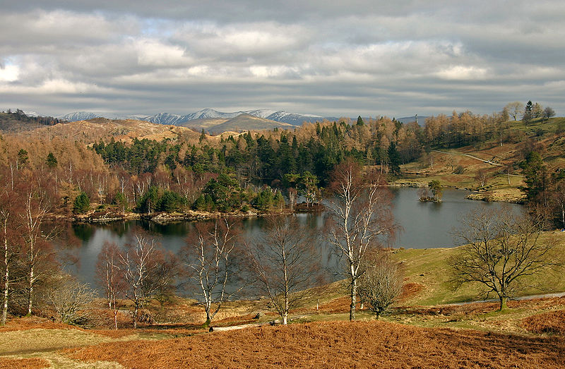
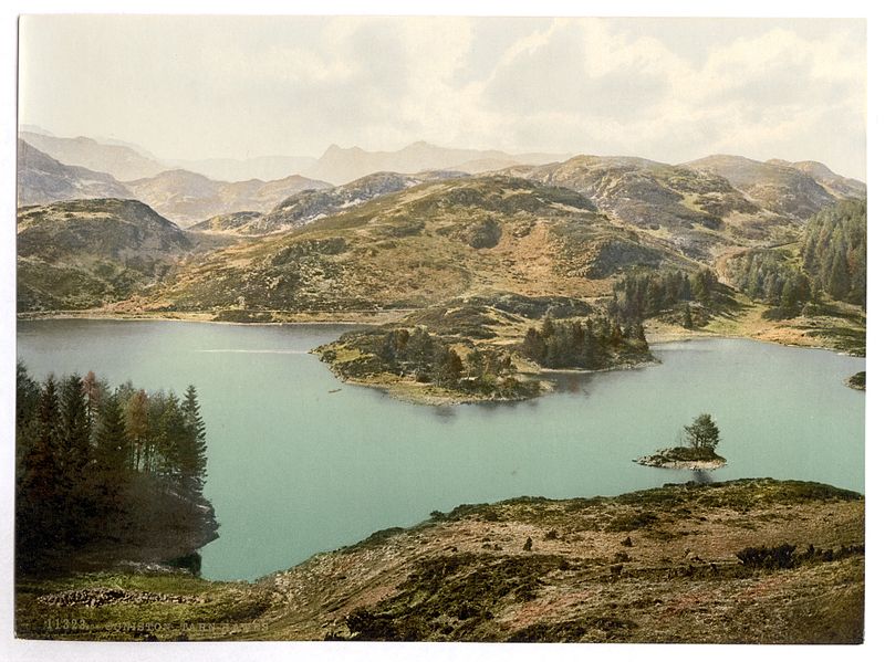
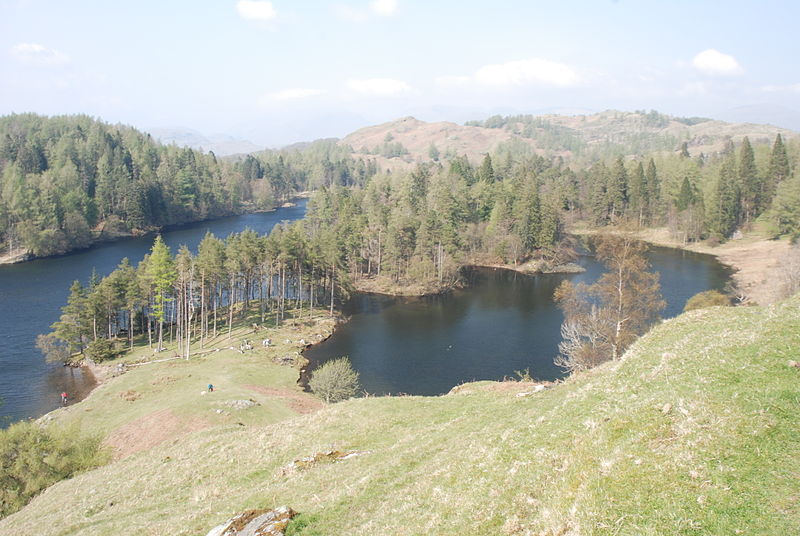
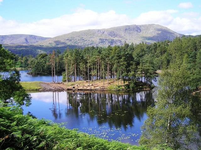
Tarn Hows

Gallery (5)
Map

Map

Gallery
Facts and practical information
Tarn Hows is an area of the Lake District National Park in North West England, It contains a picturesque tarn, approximately 2 miles northeast of Coniston and about 1.5 miles northwest of Hawkshead. It is one of the most popular tourist destinations in the area with over half a million visitors per year in the 1970s and is managed by the National Trust. ()
Alternative names: Length: 3186 ftWidth: 846 ftMaximum depth: 29 ftElevation: 791 ft a.s.l.Coordinates: 54°22'60"N, 3°1'60"W
Location
England
ContactAdd
Social media
Add
Day trips


