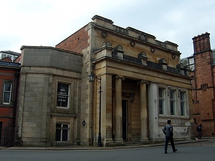
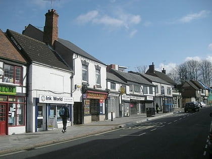
The Charterhouse, Coventry
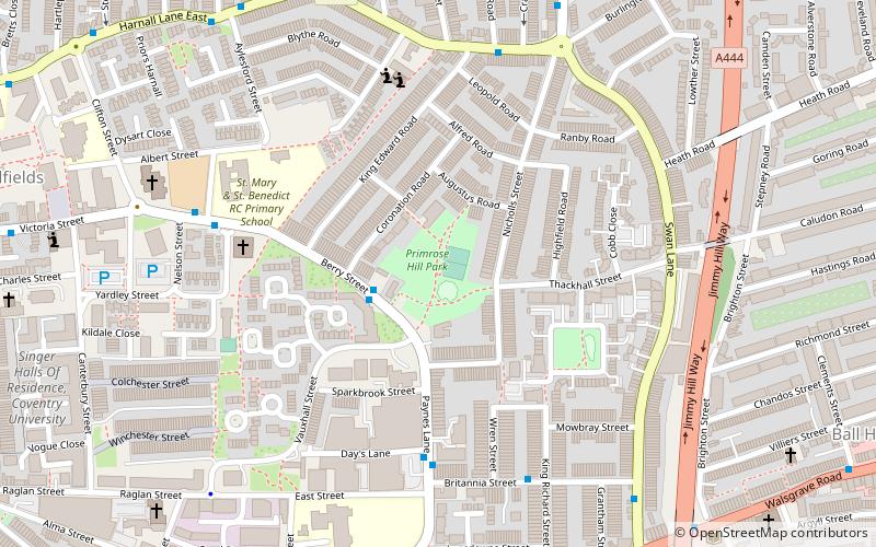
Map
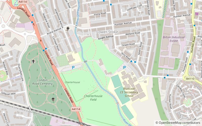
Map

Facts and practical information
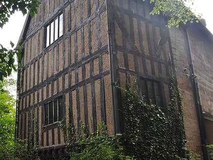
The Charterhouse, Coventry is a grade I listed building on London Road, Coventry, in the West Midlands of England. ()
Completed: XIV centuryCoordinates: 52°24'4"N, 1°29'41"W
Address
London RdNorth West Coventry (St. Michael's)Coventry CV1 2JR
Contact
+44 24 7626 7919
Social media
Add
Day trips
The Charterhouse – popular in the area (distance from the attraction)
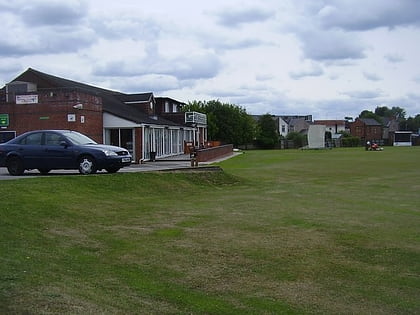
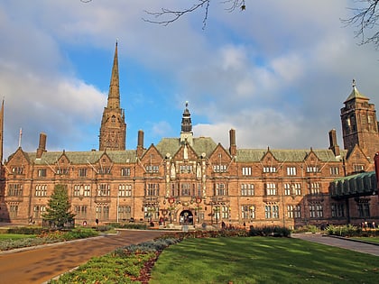
Nearby attractions include: Coventry Cathedral, Herbert Art Gallery and Museum, St Michael's Victory over the Devil, Bulls Head Ground.
Frequently Asked Questions (FAQ)
Which popular attractions are close to The Charterhouse?
Nearby attractions include London Road Cemetery, Coventry (10 min walk), Coventry University, Coventry (11 min walk), Gosford Park Children's Centre, Coventry (11 min walk), Whitefriars, Coventry (12 min walk).
How to get to The Charterhouse by public transport?
The nearest stations to The Charterhouse:
Bus
Train
Bus
- Terry Rd / Bluecoat School • Lines: 3 (3 min walk)
- London Rd / Acacia Avenue • Lines: X18 (6 min walk)
Train
- Coventry (21 min walk)
