Christ Church, Wolverhampton
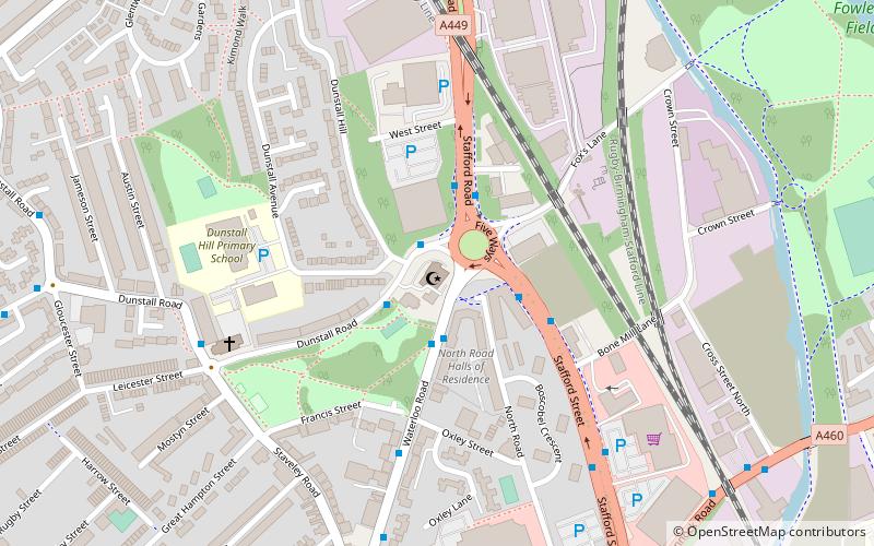
Map
Facts and practical information
Christ Church, Wolverhampton is a former parish church in the Church of England in Wolverhampton ()
Completed: 1867 (159 years ago)Coordinates: 52°35'46"N, 2°7'48"W
Address
St. Peter'sWolverhampton
ContactAdd
Social media
Add
Getting there by public transportation
Public transportation stops near this location
- Bus
- Tram
- Train
 Bus
Bus
- Calculate routeDunstall Rd / Dunstall Hill 1 min walk
- Calculate routeWaterloo Rd / Five Ways 2 min walk
- Calculate routeStafford Rd / Five Ways 2 min walk
- Calculate routeLower Stafford St / Five Ways 3 min walk
- Calculate routeWolverhampton 19 min walk
- Calculate routeWolverhampton St Georges 23 min walk
- Calculate routeThe Royal 30 min walk
Day trips


Frequently Asked Questions (FAQ)
Which popular attractions are close to Christ Church?
Nearby attractions include Stafford Road F.C., Wolverhampton (11 min walk), Wolverhampton Archives and Local Studies, Wolverhampton (14 min walk), Whitmore Reans, Wolverhampton (14 min walk), St Peter and St Paul's Church, Wolverhampton (15 min walk).
How to get to Christ Church by public transport?
The nearest stations to Christ Church:
Bus
Train
Tram
Bus
- Dunstall Rd / Dunstall Hill • Lines: 5, 794 (1 min walk)
- Waterloo Rd / Five Ways • Lines: 3, 4, 5, 62, 62A, 877, 878 (2 min walk)
Train
- Wolverhampton (19 min walk)
Tram
- Wolverhampton St Georges • Lines: 1 (23 min walk)
- The Royal • Lines: 1 (30 min walk)