Beinn Tarsuinn, Isle of Arran
#8 among attractions in Isle of Arran


Facts and practical information
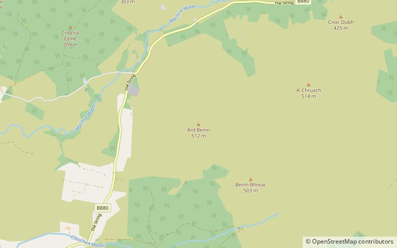
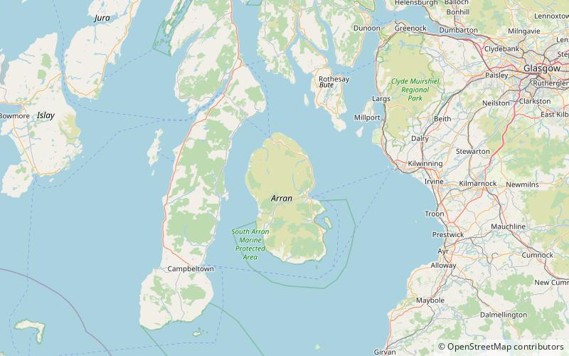
Beinn Tarsuinn is a mountain on the Isle of Arran, Scotland. It is the southernmost of the four Corbetts on the island, lying between Glen Rosa to the east and Glen Iorsa to the west. ()
Isle of Arran United Kingdom
Isle of Arran plan & book
Unleash the traveler in you — discover the cheapest flight deals, find the perfect hotel or hostel nearby, and search for the best car rental prices. Travel at your own pace to discover new places and enjoy your journey.
Beinn Tarsuinn – popular in the area (distance from the attraction)
Nearby attractions include: Brodick Castle, Goat Fell, Moss Farm Road Stone Circle, Caisteal Abhail.
4.1 miSE19th-century castle with formal gardensBrodick Castle, Isle of Arran
104 min walk • Brodick Castle is a castle situated outside the port of Brodick on the Isle of Arran, an island in the Firth of Clyde, Scotland. It was previously a seat of the Dukes of Hamilton, but is now owned by the National Trust for Scotland.
2 miEIsland's highest peak for hikingGoat Fell, Isle of Arran
51 min walk • Goat Fell is the highest point on the Isle of Arran. At 874 metres, it is one of four Corbetts on the island. The mountain, along with nearby Brodick Castle, is now owned by the National Trust for Scotland. The name is believed to mean 'Goat Mountain'.
6.5 miSWArchaeological siteMoss Farm Road Stone Circle, Machrie
166 min walk • Moss Farm Road Stone Circle is the remains of a Bronze Age burial cairn, surrounded by a circle of stones. It is located near Machrie on the Isle of Arran in Scotland.
1.9 miNNature, Natural attraction, MountainCaisteal Abhail, Isle of Arran
49 min walk • Caisteal Abhail is a mountain on the Isle of Arran in Scotland. It is the northernmost Corbett on the island. The mountain forms the main part of a view known as The Sleeping Warrior due to its distinctive outline as seen from the mainland.
3.7 miWMountainBeinn Bharrain, Isle of Arran
95 min walk • Beinn Bharrain is a mountain on the Isle of Arran, Scotland, located in the far northwest of the Island. Despite being less frequently visited than its eastern neighbours, it still provides fine views from the top.
4.8 miSETownBrodick
122 min walk • Brodick is the main village on the Isle of Arran, in the Firth of Clyde, Scotland. It is halfway along the east coast of the island, in Brodick Bay below Goat Fell, the tallest mountain on Arran. The name is derived from the Norse "breda-vick" meaning "Broad Bay".
1.4 miNENature, Natural attraction, MountainCìr Mhòr, Isle of Arran
35 min walk • Cìr Mhòr is a Corbett known as the Matterhorn of Arran. Its name means the "big comb", referring its resemblance to a cockscomb. It is separated from the island's highest peak, Goat Fell, by a col called The Saddle.
5.3 miSNature, Natural attraction, MountainÀrd Bheinn, Isle of Arran
136 min walk • Àrd Bheinn is a small mountain of 1678 feet on central Isle of Arran in western Scotland.
5.8 miSWArchaeological siteAuchagallon Stone Circle, Machrie
148 min walk • Auchagallon Stone Circle or Auchengallon cairn is the remains of a Neolithic or Bronze Age burial cairn, surrounded by a circle of fifteen stones. It is located near Machrie on the Isle of Arran in Scotland.
3.4 miSHiking, Hiking trailArran Coastal Way, Isle of Arran
88 min walk • The Arran Coastal Way is a 107 kilometre long-distance trail that goes around the coastline of Arran in Scotland.
5.3 miNNature, Natural attraction, MountainCreag Ghlas Laggan, Isle of Arran
136 min walk • Creag Ghlas Laggan is a hill on the Isle of Arran in south-western Scotland. It is the highest point of the seven-mile-long ridge of land that runs north-west to south-east between the A841 road and the Sound of Bute in the north-eastern part of the island.