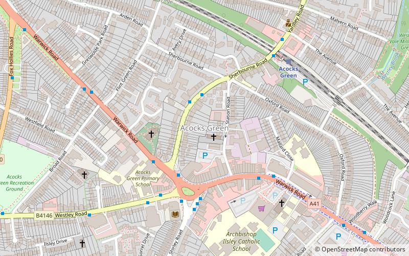
Acocks Green, Birmingham

Gallery (3)
Map

Map
Gallery
Facts and practical information
Acocks Green is an area and ward of southeast Birmingham, England. It is named after the Acock family, who built a large house there in 1370. Acocks Green is one of four wards making up Yardley formal district. It is occasionally spelled "Acock's Green". It has frequently been noted on lists of unusual place names. ()
Area: 1.84 mi²Coordinates: 52°26'52"N, 1°49'22"W
Address
Acocks GreenBirmingham
ContactAdd
Social media
Add
Getting there by public transportation
Public transportation stops near this location
- Bus
- Train
 Bus
Bus
- Calculate routeAcocks Green 5 min walk
- Calculate routeSpring Road 16 min walk
- Calculate routeTyseley 21 min walk
- Calculate routeShakespeare Line Warwick Road 26 min walk
- Calculate routeSk 26 min walk
- Calculate routeCoventry Rd / Kathleen Rd 26 min walk
- Calculate routeSh 26 min walk
- Calculate routeSa 27 min walk
Day trips


Frequently Asked Questions (FAQ)
Which popular attractions are close to Acocks Green?
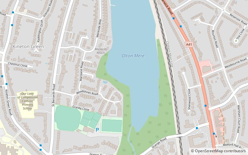
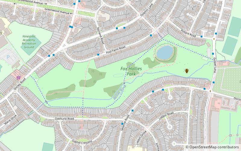
Nearby attractions include St. Mary the Virgin Church, Birmingham (3 min walk), Fox Hollies, Birmingham (19 min walk), Scheduled monuments in Birmingham, Birmingham (20 min walk).
How to get to Acocks Green by public transport?
The nearest stations to Acocks Green:
Train
Bus
Train
- Acocks Green (5 min walk)
- Spring Road (16 min walk)
Bus
- Sk • Lines: X1, X2 (26 min walk)
- Coventry Rd / Kathleen Rd • Lines: X1, X2 (26 min walk)