Trichrug, Brecon Beacons
Map

Map

Facts and practical information
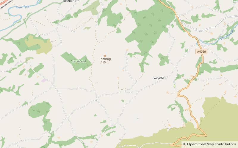
Trichrug is a hill four miles east of Llandeilo and 3 miles south of Llangadog in the county of Carmarthenshire, southwest Wales. It lies within the Brecon Beacons National Park and Fforest Fawr Geopark. Its summit at a height of 415m above sea level is marked by a trig point. It is a Marilyn with a prominence of 191 metres. ()
Coordinates: 51°52'60"N, 3°52'60"W
Address
Brecon Beacons
ContactAdd
Social media
Add
Day trips
Trichrug – popular in the area (distance from the attraction)
Nearby attractions include: Carreg Cennen Castle, St Teilo's Church, Y Garn Goch, Tair Carn Uchaf.


