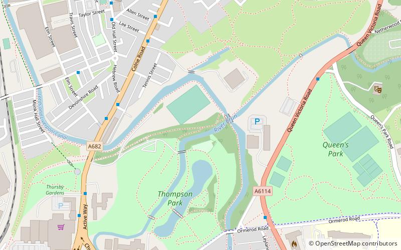
Thompson Park, Burnley
Map

Map

Facts and practical information
Thompson Park is a formal Edwardian park in Burnley, Lancashire. It was opened to the public in 1930. ()
Elevation: 423 ft a.s.l.Coordinates: 53°47'49"N, 2°14'9"W
Day trips
Thompson Park – popular in the area (distance from the attraction)
Nearby attractions include: Burnley Way, Weavers' Triangle, Burnley Town Hall, St Andrew's Church.
Frequently Asked Questions (FAQ)
Which popular attractions are close to Thompson Park?
Nearby attractions include Stoneyholme, Burnley (8 min walk), St Peter's Church, Burnley (9 min walk), St Andrew's Church, Burnley (10 min walk), Church of St Mary of the Assumption, Burnley (15 min walk).
How to get to Thompson Park by public transport?
The nearest stations to Thompson Park:
Bus
Train
Bus
- Hebrew Road • Lines: 5, M3, M4, M5 (4 min walk)
- Hallwell Street • Lines: 5, M3, M4, M5 (5 min walk)
Train
- Burnley Central (12 min walk)
- Burnley Barracks (25 min walk)


