Burnley Town Hall, Burnley
Map

Map

Facts and practical information
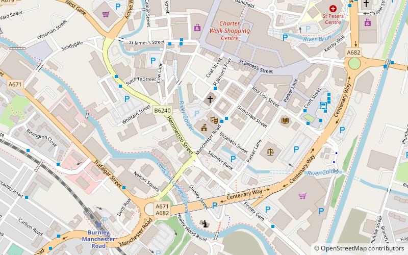
Burnley Town Hall is a municipal building in Manchester Road, Burnley, Lancashire, England. The town hall, which is the headquarters of Burnley Borough Council, is a Grade II listed building. ()
Coordinates: 53°47'15"N, 2°14'42"W
Day trips
Burnley Town Hall – popular in the area (distance from the attraction)
Nearby attractions include: Towneley Hall, Burnley Way, Weavers' Triangle, St Andrew's Church.
Frequently Asked Questions (FAQ)
Which popular attractions are close to Burnley Town Hall?
Nearby attractions include Burnley Mechanics, Burnley (1 min walk), Weavers' Triangle, Burnley (3 min walk), Burnley Embankment, Burnley (8 min walk), Church of St Mary of the Assumption, Burnley (11 min walk).
How to get to Burnley Town Hall by public transport?
The nearest stations to Burnley Town Hall:
Bus
Train
Bus
- Burnley Mechanics • Lines: 1, 15, Wizz, X43, X43 Fast (1 min walk)
- Hargreaves Street • Lines: 14, 5, 64, 65, 9, 9 (Limited Service), 95, M1, M2 (2 min walk)
Train
- Burnley Manchester Road (7 min walk)
- Burnley Central (11 min walk)


