Weavers' Triangle, Burnley
Map
Gallery
Facts and practical information
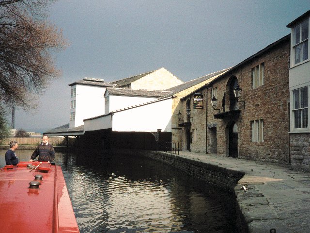
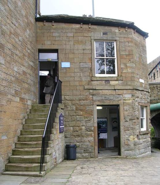
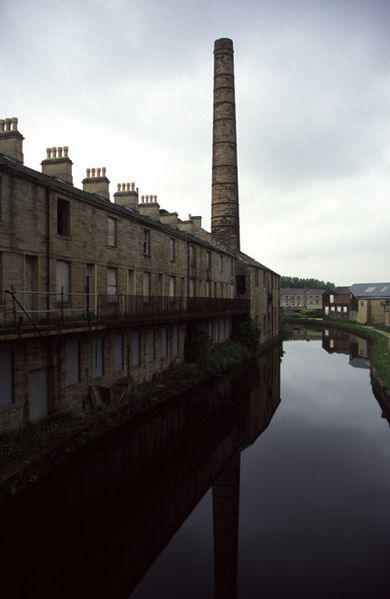
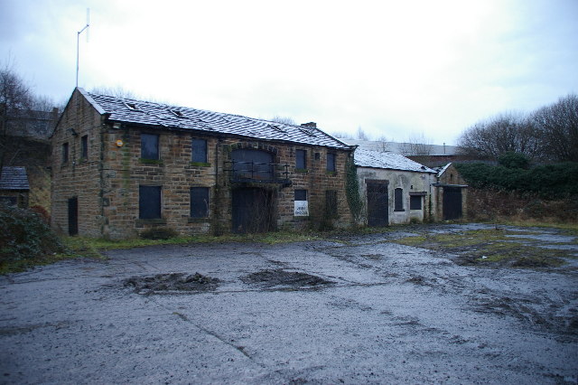
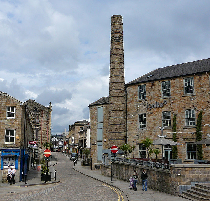
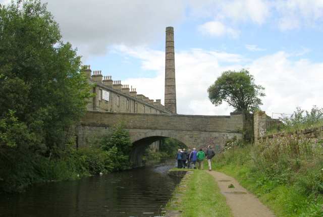
The Weavers' Triangle is an area of Burnley in Lancashire, England consisting mostly of 19th-century industrial buildings at the western side of town centre clustered around the Leeds and Liverpool Canal. The area has significant historic interest as the cotton mills and associated buildings encapsulate the social and economic development of the town and its weaving industry. From the 1980s, the area has been the focus of major redevelopment efforts. ()
Established: 26 August 1980 (45 years ago)Coordinates: 53°47'12"N, 2°14'47"W
Day trips
Weavers' Triangle – popular in the area (distance from the attraction)
Nearby attractions include: Towneley Hall, Burnley Way, Burnley Town Hall, St Andrew's Church.
Frequently Asked Questions (FAQ)
Which popular attractions are close to Weavers' Triangle?
Nearby attractions include Burnley Town Hall, Burnley (3 min walk), Burnley Mechanics, Burnley (3 min walk), Burnley Embankment, Burnley (10 min walk), St Matthew's Church, Burnley (11 min walk).
How to get to Weavers' Triangle by public transport?
The nearest stations to Weavers' Triangle:
Bus
Train
Bus
- Trafalgar Street • Lines: 1 (3 min walk)
- Burnley Mechanics • Lines: 1, 15, Wizz, X43, X43 Fast (4 min walk)
Train
- Burnley Manchester Road (5 min walk)
- Burnley Central (12 min walk)


