Burnley Way, Burnley

Gallery (9)
Map

Map

Gallery
Facts and practical information
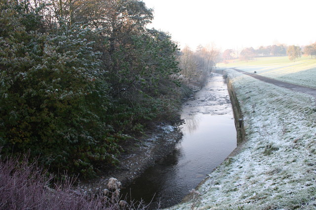
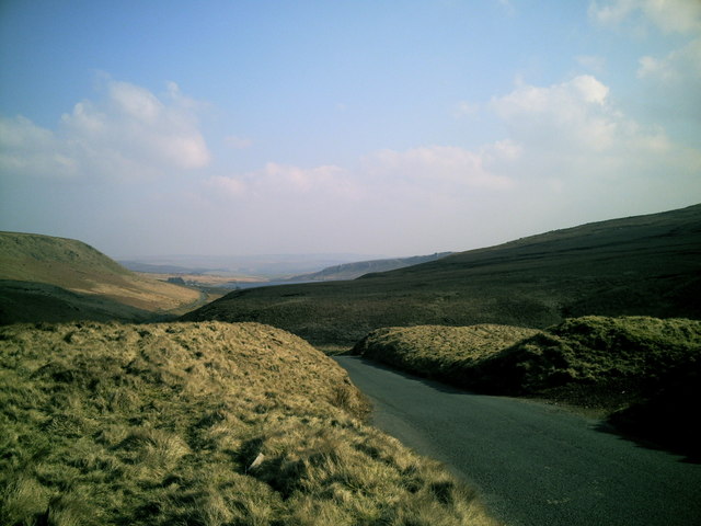
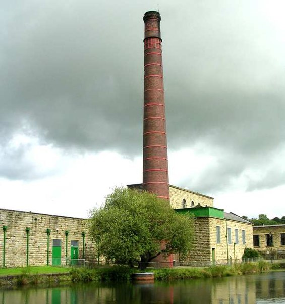
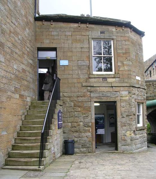
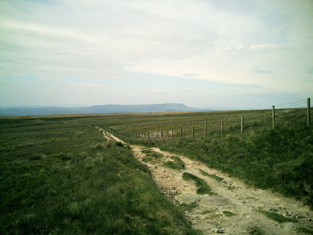
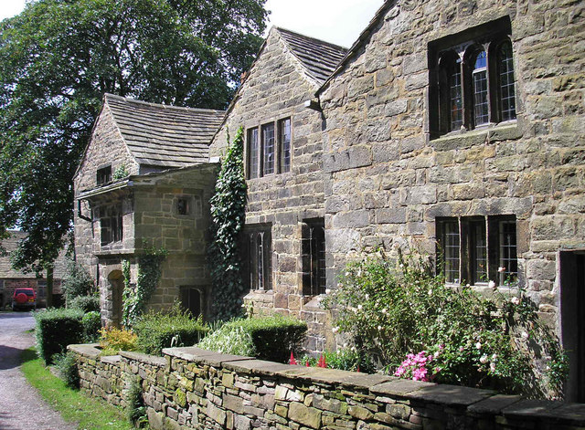
The Burnley Way is a 40-mile long distance footpath in Lancashire, England. As a circular walk it can be walked from any point, but it is common to start and finish at the Weavers' Triangle Visitor Centre in Burnley. It covers a range of terrain from canal towpaths to open moorland. ()
Length: 40 miCoordinates: 53°47'10"N, 2°14'47"W
Address
Burnley
ContactAdd
Social media
Add
Getting there by public transportation
Public transportation stops near this location
- Bus
- Train
 Bus
Bus
- Calculate routeTrafalgar Street 2 min walk
- Calculate routeRailway Station 4 min walk
- Calculate routeBurnley Mechanics 4 min walk
- Calculate routeBurnley Manchester Road 4 min walk
- Calculate routeBurnley Central 14 min walk
- Calculate routeBurnley Barracks 15 min walk
Day trips


Frequently Asked Questions (FAQ)
Which popular attractions are close to Burnley Way?
Nearby attractions include Weavers' Triangle, Burnley (2 min walk), Burnley Town Hall, Burnley (4 min walk), Burnley Mechanics, Burnley (4 min walk), St Matthew's Church, Burnley (10 min walk).
How to get to Burnley Way by public transport?
The nearest stations to Burnley Way:
Bus
Train
Bus
- Trafalgar Street • Lines: 1 (2 min walk)
- Railway Station • Lines: 15, X43, X43 Fast (4 min walk)
Train
- Burnley Manchester Road (4 min walk)
- Burnley Central (14 min walk)