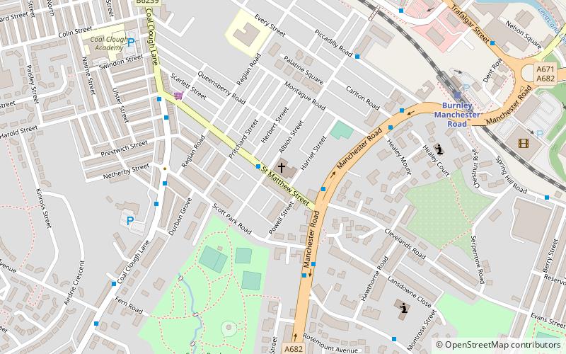
St Matthew's Church, Burnley
Map

Map

Facts and practical information
St Matthew's Church is in St Matthew's Street, Burnley, Lancashire, England. It is an active Anglican parish church in the diocese of Blackburn. The original church was built between 1876 and 1879, and was designed by William Waddington and Sons. This burnt down in 1927 and was replaced by the present church. In the 1970s St Matthew's joined with the neighbouring Holy Trinity Church. ()
Completed: 1931 (95 years ago)Architectural style: Gothic revivalCoordinates: 53°47'1"N, 2°15'17"W
Day trips
St Matthew's Church – popular in the area (distance from the attraction)
Nearby attractions include: Burnley Way, Weavers' Triangle, Burnley Town Hall, Thompson Park.
Frequently Asked Questions (FAQ)
Which popular attractions are close to St Matthew's Church?
Nearby attractions include Scott Park, Burnley (6 min walk), Weavers' Triangle, Burnley (11 min walk), Holy Trinity Church, Burnley (12 min walk), Burnley Town Hall, Burnley (13 min walk).
How to get to St Matthew's Church by public transport?
The nearest stations to St Matthew's Church:
Bus
Train
Bus
- Albion Street • Lines: 15 (1 min walk)
- St Matthew Street • Lines: X43, X43 Fast (2 min walk)
Train
- Burnley Manchester Road (7 min walk)
- Burnley Barracks (14 min walk)


