Ballysaggart Lough, Dungannon
Map

Map

Facts and practical information
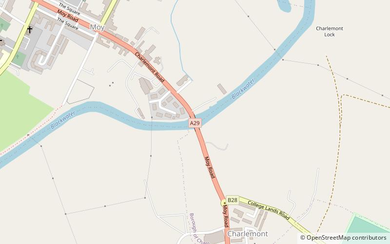
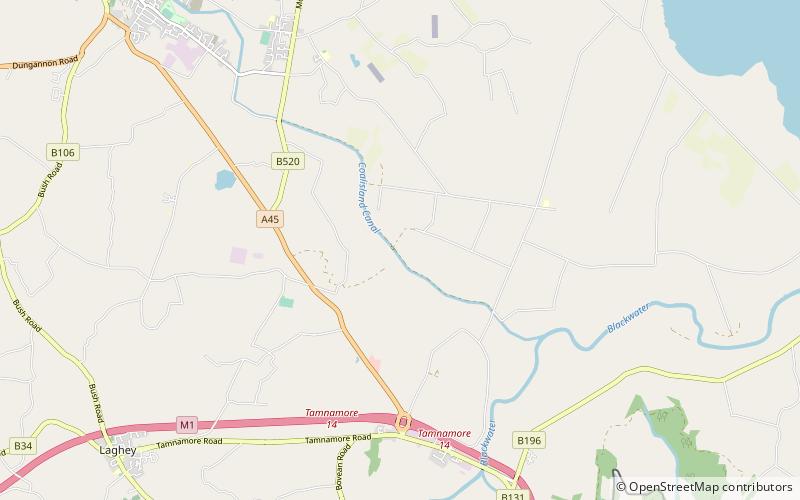
Ballysaggart Lough or Black Lough is a lough in Dungannon, County Tyrone, Northern Ireland. It is within the drainage basin of the River Blackwater which flows out of Lough Neagh. It is part of the waterway created to service mills in nearby Moygashel. The lough has an area of 42.5 acres. Bally Saggart Lough came under the ownership of Mid Ulster District Council in 2014 and the Council are looking to improve public access to the Lough. ()
Elevation: 253 ft a.s.l.Coordinates: 54°29'40"N, 6°46'41"W
Address
Dungannon
ContactAdd
Social media
Add
Day trips
Ballysaggart Lough – popular in the area (distance from the attraction)
Nearby attractions include: Castle Caulfield, Dungannon Library, Charlemont Bridge, Coalisland Canal.


