Coalisland
#7701 among destinations in the United Kingdom
![Coalisland location map](https://tzmedia.b-cdn.net/media/images/static-maps/gb/54_5395_-6_70049.jpg)
Facts and practical information
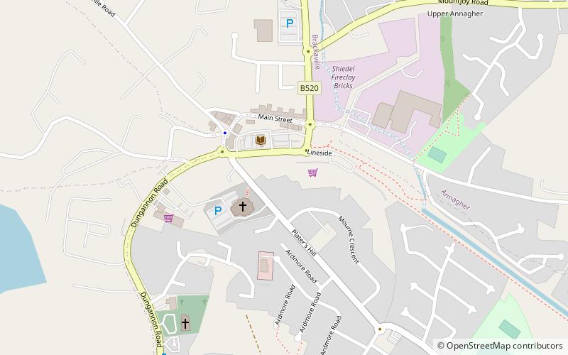
Coalisland is a small town in County Tyrone, Northern Ireland, with a population of 5,682 in the 2011 Census. Four miles from Lough Neagh, it was formerly a centre for coal mining. ()
Northern IrelandUnited Kingdom
Coalisland plan & book
Unleash the traveler in you — discover the cheapest flight deals, find the perfect hotel or hostel nearby, and search for the best car rental prices. Travel at your own pace to discover new places and enjoy your journey.
Coalisland – popular in the area (distance from the attraction)
Nearby attractions include: Ballysaggart Lough, Peatlands Park, Tullyhogue Fort, Castle Caulfield.
4.4 miSWNature, Natural attraction, LakeBallysaggart Lough, Dungannon
113 min walk • Ballysaggart Lough or Black Lough is a lough in Dungannon, County Tyrone, Northern Ireland. It is within the drainage basin of the River Blackwater which flows out of Lough Neagh. It is part of the waterway created to service mills in nearby Moygashel. The lough has an area of 42.5 acres.
5.3 miSEParkPeatlands Park
134 min walk • Peatlands Park is a 266 hectares area established in 1990 and placed under the safeguard of the Northern Ireland Environment Agency. It is located in County Armagh, Northern Ireland, and has been designated as an Area of Special Scientific Interest.
5 miNArchaeological siteTullyhogue Fort, Cookstown
127 min walk • Tullyhogue Fort, also spelt Tullaghoge or Tullahoge, is large mound on the outskirts of Tullyhogue village near Cookstown, County Tyrone, Northern Ireland. It has a depressed centre and is surrounded by trees. It is an ancient ceremonial site where the Chiefs of the Clan O'Neill of Tyrone were inaugurated.
5.9 miSWForts and castlesCastle Caulfield
150 min walk • Castle Caulfield is a large ruined house situated in Castlecaulfield, County Tyrone, Northern Ireland. The house was built by Sir Toby Caulfeild between 1611 and 1619. He was granted 1000 acres during the Ulster Plantation.
3.9 miEForts and castlesMountjoy Castle
101 min walk • Mountjoy Castle is situated near the village of Brockagh, in Magheralamfield townland in County Tyrone, Northern Ireland, on a hill overlooking Lough Neagh.
3.6 miSW 5 miEParkMaghery Country Park
127 min walk • Maghery Country Park is a park in the village of Maghery, County Armagh, Northern Ireland, on the shores of Lough Neagh. It covers 30 acres and includes five km of woodland walks and picnic areas and is used for birdwatching, fishing, and walking.
2.6 miSECanalCoalisland Canal
68 min walk • Coalisland Canal is a canal in County Tyrone in Ulster and is about 7.2 kilometres long. Construction of the canal began in 1733, but progress was slow and it was not officially opened until 1787.
1.5 miWCanalDukart's Canal
39 min walk • Dukart's Canal was built to provide transport for coal from the Drumglass Collieries to the Coalisland Canal in County Tyrone, Ulster, Ireland. It opened in 1777, and used three inclined planes, rather than locks, to cope with changes in level.
3.1 miNW 3.9 miSWSport, Sport venueStangmore Park
100 min walk • Stangmore Park is a football stadium in Dungannon, County Tyrone, Northern Ireland. It is the home ground of Dungannon Swifts, and holds 5,000 spectators, 300 of whom can be seated.