Dukart's Canal

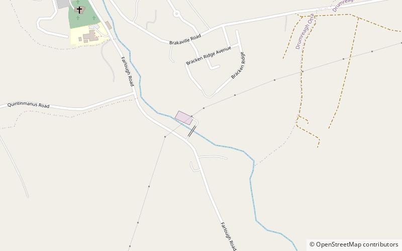
Map
Facts and practical information
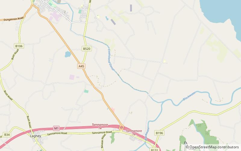
Dukart's Canal was built to provide transport for coal from the Drumglass Collieries to the Coalisland Canal in County Tyrone, Ulster, Ireland. It opened in 1777, and used three inclined planes, rather than locks, to cope with changes in level. There is little evidence that it was ever used, as the planes could not be made to work properly, and they were dismantled in 1787. ()
Coordinates: 54°32'52"N, 6°44'7"W
Location
Northern Ireland
ContactAdd
Social media
Add
Day trips
Dukart's Canal – popular in the area (distance from the attraction)
Nearby attractions include: Ballysaggart Lough, Peatlands Park, Tullyhogue Fort, Castle Caulfield.


