Coalisland Canal
Map
Facts and practical information
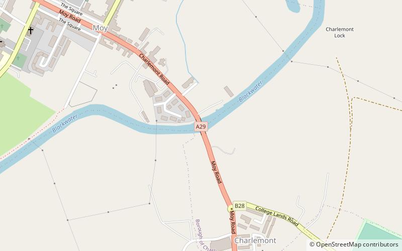
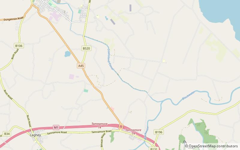
Coalisland Canal is a canal in County Tyrone in Ulster and is about 7.2 kilometres long. Construction of the canal began in 1733, but progress was slow and it was not officially opened until 1787. The canal was built to reduce the cost of transporting coal from the Tyrone coalfields to Dublin. An extension known as "Dukart's Canal" was built to link the coalfields of Drumglass with the head of navigation at Coalisland. It opened in 1777, but was an engineering failure, and closed when the main canal opened. After some difficulties with the infrastructure, traffic slowly increased, and did not reach its peak until 1931. Traffic then declined rapidly, and the canal was abandoned in 1954. ()
Length: 4.47 miCoordinates: 54°30'45"N, 6°39'14"W
Location
Northern Ireland
ContactAdd
Social media
Add
Day trips