St Hugh's Church, Peak District
Map

Gallery

Facts and practical information
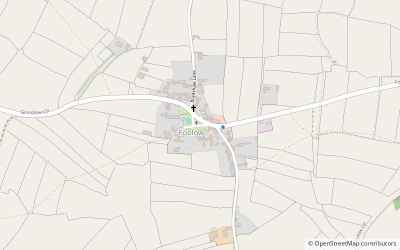
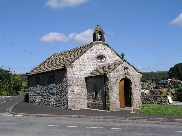
St Hugh's Church, Foolow is a Grade II listed parish church in the Church of England in Foolow, Derbyshire. ()
Completed: 17 November 1888 (137 years ago)Coordinates: 53°17'16"N, 1°42'54"W
Address
Peak District
ContactAdd
Social media
Add
Day trips
St Hugh's Church – popular in the area (distance from the attraction)
Nearby attractions include: Monsal Trail, St John the Baptist, Eyam Museum, Eyam Hall.
Frequently Asked Questions (FAQ)
How to get to St Hugh's Church by public transport?
The nearest stations to St Hugh's Church:
Bus
Bus
- Foolow Bull's Head • Lines: 257, 65 (2 min walk)
- Great Hucklow Lane End • Lines: 257, 65 (24 min walk)


