Cressbrook Dale, Peak District

Gallery (3)
Map
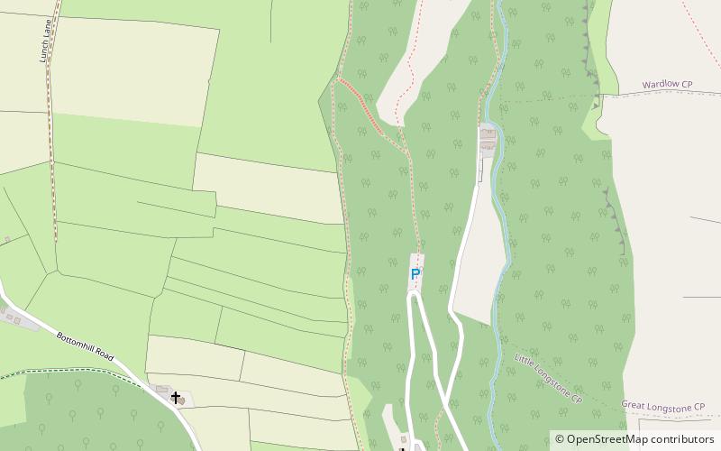
Map
Gallery
Facts and practical information
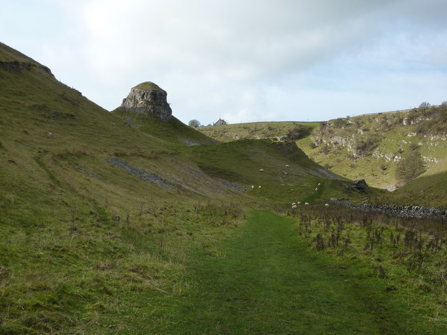
Cressbrook Dale is a dry carboniferous limestone gorge near Bakewell, Derbyshire, in the Peak District of England. The dale is cut into a plateau of farmland and lies to the south east of the village of Litton. Cressbrook village is at the foot of the valley to the south. ()
Coordinates: 53°15'31"N, 1°44'48"W
Address
Peak District
ContactAdd
Social media
Add
Getting there by public transportation
Public transportation stops near this location
- Bus
 Bus
Bus
- Calculate routeCressbrook 7 min walk
- Calculate routeWardlow 26 min walk
- Calculate routeLitton 28 min walk
Day trips


Frequently Asked Questions (FAQ)
How to get to Cressbrook Dale by public transport?
The nearest stations to Cressbrook Dale:
Bus
Bus
- Cressbrook • Lines: 173 (7 min walk)
- Wardlow • Lines: 173 (26 min walk)