Wet Withens, Peak District

Gallery (2)
Map
Map
Gallery
Facts and practical information
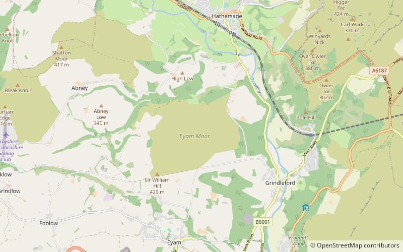
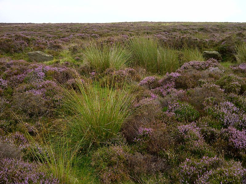
Wet Withens is a Bronze Age henge on Eyam Moor in the Derbyshire Peak District, England. The prehistoric circle of 10 upright stones is a protected Scheduled Monument. ()
Coordinates: 53°18'27"N, 1°39'47"W
Address
Peak District
ContactAdd
Social media
Add
Getting there by public transportation
Public transportation stops near this location
- Bus
 Bus
Bus
- Calculate routeLeadmill 27 min walk
- Calculate routeGrindleford 36 min walk
Day trips


Frequently Asked Questions (FAQ)
How to get to Wet Withens by public transport?
The nearest stations to Wet Withens:
Bus
Bus
- Leadmill • Lines: 257 (27 min walk)
- Grindleford • Lines: 257, 65 (36 min walk)