Hatch End, London

Gallery (1)
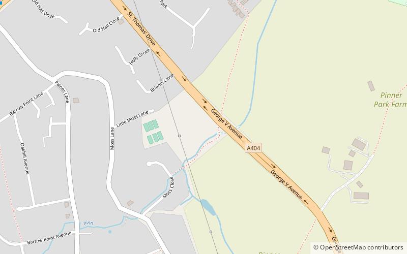
Map
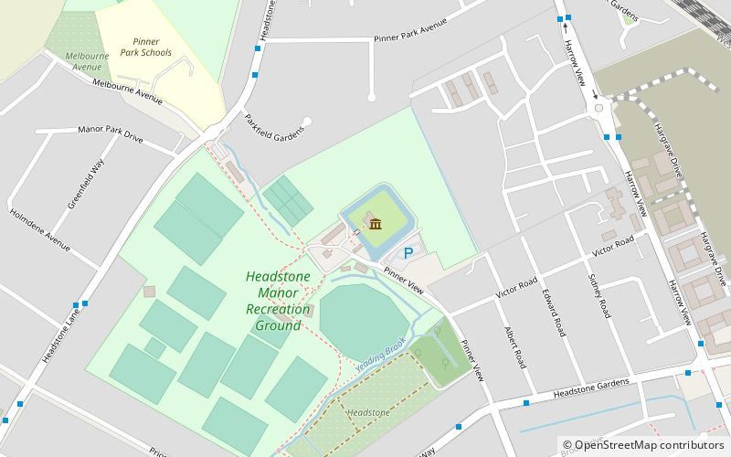
Map
Facts and practical information
Hatch End is an area of North West London, situated within the London Borough of Harrow, in the historic county of Middlesex. It is located 12.2 miles north west of Charing Cross. ()
Getting there by public transportation
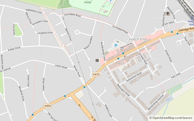
Public transportation stops near this location
- Metro
- Bus
- Train
 Metro
Metro
- Calculate routeSt Thomas' Drive 10 min walk
- Calculate routeWoodhall Drive 11 min walk
- Calculate routeHatch End Station 15 min walk
- Calculate routePinner 17 min walk
- Calculate routeNorth Harrow 31 min walk
- Calculate routeHatch End 17 min walk
- Calculate routeHeadstone Lane 20 min walk
Maps Tube
Tube
TubeDay trips


Frequently Asked Questions (FAQ)
Which popular attractions are close to Hatch End?
Nearby attractions include Kol Chai Hatch End Reform Jewish Community, Watford (12 min walk), Headstone, Watford (13 min walk), St John the Baptist, London (13 min walk), Pinner Parish Church, London (13 min walk).
How to get to Hatch End by public transport?
The nearest stations to Hatch End:
Bus
Metro
Train
Bus
- St Thomas' Drive • Lines: H12, H14 (10 min walk)
- Woodhall Drive • Lines: H12 (11 min walk)
Metro
- Pinner • Lines: Metropolitan (17 min walk)
- North Harrow • Lines: Metropolitan (31 min walk)
Train
- Hatch End (17 min walk)
- Headstone Lane (20 min walk)