Mynydd-y-glog, Brecon Beacons
Map
Map

Facts and practical information
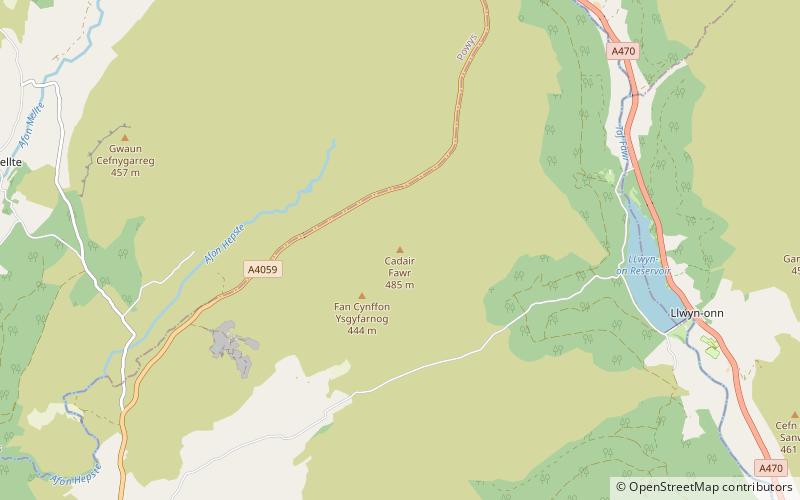
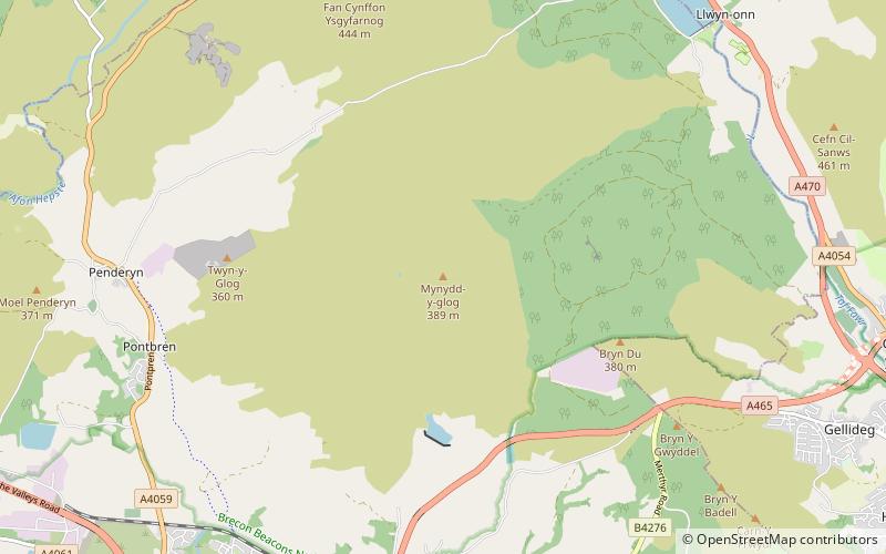
Mynydd-y-glog is a hill just east of the village of Penderyn in the northern corner of the county borough of Rhondda Cynon Taff in south Wales. It lies within the Brecon Beacons National Park and Fforest Fawr Geopark. Its summit plateau rises to a height of 389m / 1277 ft at OS grid ref SN 982088, a spot marked by a trig point. To its north lies the partly dry valley of Pant Sychbant which forms the eastern extension of Cwm Cadlan. Its southern slopes are drained by various streams which feed into the Afon Cynon. ()
Coordinates: 51°46'6"N, 3°28'35"W
Address
Brecon Beacons
ContactAdd
Social media
Add
Day trips
Mynydd-y-glog – popular in the area (distance from the attraction)
Nearby attractions include: Aberdare Park, Dinas Rock, Aberdare Golf Club, Moel Penderyn.


