Cadair Fawr, Brecon Beacons

Map
Facts and practical information
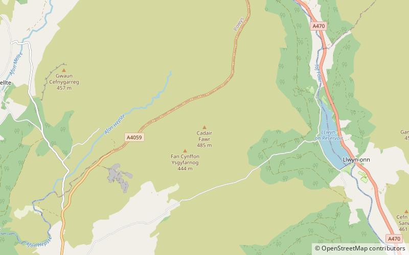
Cadair Fawr is a hill in the northern corner of the county borough of Rhondda Cynon Taf, Wales. It lies within the Brecon Beacons National Park and Fforest Fawr Geopark. The 485m high summit at OS grid ref SN 978123 is marked by a trig point. Cadair Fawr is the highest point of a broad ridge known as Cefn Cadlan which forms the northern edge of Cwm Cadlan, a valley which itself runs east-northeastwards from the village of Penderyn. The name Cadair Fawr signifies the 'big chair' whilst Cefn Cadlan signifies the 'ridge of the battlefield'. ()
Coordinates: 51°48'0"N, 3°29'1"W
Address
Brecon Beacons
ContactAdd
Social media
Add
Day trips
Cadair Fawr – popular in the area (distance from the attraction)
Nearby attractions include: Porth yr Ogof, Dinas Rock, Aberdare Golf Club, Maen Madoc.


