Torr Meadhonach, Isle of Arran

Gallery (1)
Map
Map
Facts and practical information
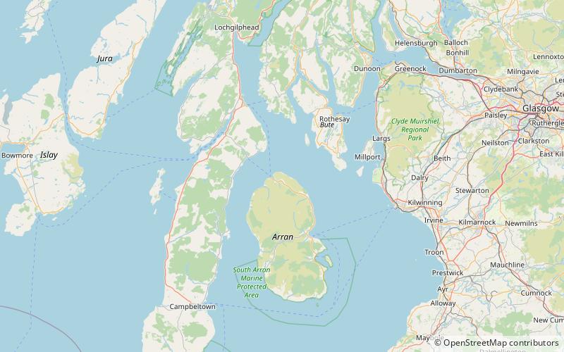
Torr Meadhonach is a hill 332 metres high at the northernmost part of the Isle of Arran in western Scotland, east of the village of Lochranza. ()
Coordinates: 55°42'41"N, 5°15'28"W
Address
Isle of Arran
ContactAdd
Social media
Add
Day trips


