Caisteal Abhail, Isle of Arran
#4 among attractions in Isle of Arran
Facts and practical information
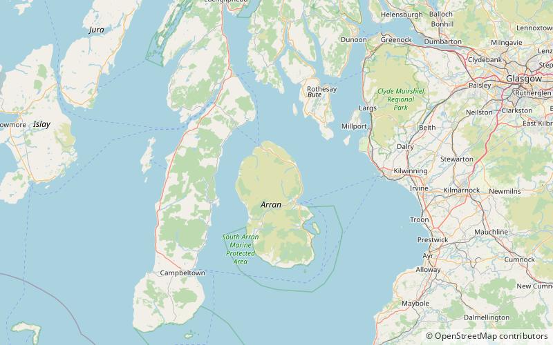
Caisteal Abhail is a mountain on the Isle of Arran in Scotland. ()
Isle of Arran United Kingdom
Caisteal Abhail – popular in the area (distance from the attraction)
Nearby attractions include: Lochranza Castle, Brodick Castle, Goat Fell, Beinn Bharrain.
4.5 miNWForts and castlesLochranza Castle, Lochranza
115 min walk • Lochranza Castle is an L-plan fortified tower house situated on a promontory in Lochranza, on the northern part of the Isle of Arran in Scotland. Most of the castle was built in the 16th century.
5 miSE19th-century castle with formal gardensBrodick Castle, Isle of Arran
127 min walk • Brodick Castle is a castle situated outside the port of Brodick on the Isle of Arran, an island in the Firth of Clyde, Scotland. It was previously a seat of the Dukes of Hamilton, but is now owned by the National Trust for Scotland.
2.3 miSEIsland's highest peak for hikingGoat Fell, Isle of Arran
58 min walk • Goat Fell is the highest point on the Isle of Arran. At 874 metres, it is one of four Corbetts on the island. The mountain, along with nearby Brodick Castle, is now owned by the National Trust for Scotland. The name is believed to mean 'Goat Mountain'.
4.2 miWMountainBeinn Bharrain, Isle of Arran
107 min walk • Beinn Bharrain is a mountain on the Isle of Arran, Scotland, located in the far northwest of the Island. Despite being less frequently visited than its eastern neighbours, it still provides fine views from the top.
6 miSETownBrodick
152 min walk • Brodick is the main village on the Isle of Arran, in the Firth of Clyde, Scotland. It is halfway along the east coast of the island, in Brodick Bay below Goat Fell, the tallest mountain on Arran. The name is derived from the Norse "breda-vick" meaning "Broad Bay".
1.9 miSNature, Natural attraction, MountainBeinn Tarsuinn, Isle of Arran
49 min walk • Beinn Tarsuinn is a mountain on the Isle of Arran, Scotland. It is the southernmost of the four Corbetts on the island, lying between Glen Rosa to the east and Glen Iorsa to the west.
0.8 miSENature, Natural attraction, MountainCìr Mhòr, Isle of Arran
21 min walk • Cìr Mhòr is a Corbett known as the Matterhorn of Arran. Its name means the "big comb", referring its resemblance to a cockscomb. It is separated from the island's highest peak, Goat Fell, by a col called The Saddle.
4.4 miNNature, Natural attraction, MountainTorr Meadhonach, Isle of Arran
112 min walk • Torr Meadhonach is a hill 332 metres high at the northernmost part of the Isle of Arran in western Scotland, east of the village of Lochranza.
5.3 miSHiking, Hiking trailArran Coastal Way, Isle of Arran
136 min walk • The Arran Coastal Way is a 107 kilometre long-distance trail that goes around the coastline of Arran in Scotland.
3.4 miNNature, Natural attraction, MountainCreag Ghlas Laggan, Isle of Arran
88 min walk • Creag Ghlas Laggan is a hill on the Isle of Arran in south-western Scotland. It is the highest point of the seven-mile-long ridge of land that runs north-west to south-east between the A841 road and the Sound of Bute in the north-eastern part of the island.