Creag Ghlas Laggan, Isle of Arran
Map

Map

Facts and practical information
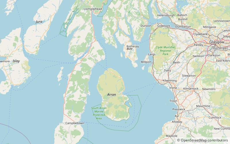
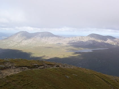
Creag Ghlas Laggan is a hill on the Isle of Arran in south-western Scotland. It is the highest point of the seven-mile-long ridge of land that runs north-west to south-east between the A841 road and the Sound of Bute in the north-eastern part of the island. It is classed as a Marilyn. ()
Elevation: 1457 ftProminence: 791 ftCoordinates: 55°41'55"N, 5°13'12"W
Address
Isle of Arran
ContactAdd
Social media
Add
Day trips
Creag Ghlas Laggan – popular in the area (distance from the attraction)
Nearby attractions include: Lochranza Castle, Goat Fell, Skipness Castle, Caisteal Abhail.


