Cìr Mhòr, Isle of Arran
Map

Map

Facts and practical information
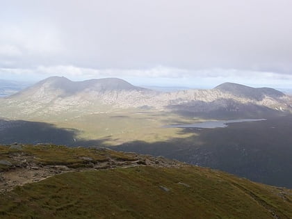
Cìr Mhòr is a Corbett known as the Matterhorn of Arran. Its name means the "big comb", referring its resemblance to a cockscomb. It is separated from the island's highest peak, Goat Fell, by a col called The Saddle. ()
Elevation: 2621 ftProminence: 574 ftCoordinates: 55°38'20"N, 5°13'22"W
Address
Isle of Arran
ContactAdd
Social media
Add
Day trips
Cìr Mhòr – popular in the area (distance from the attraction)
Nearby attractions include: Lochranza Castle, Brodick Castle, Goat Fell, Caisteal Abhail.


