Maidenhead Synagogue, Maidenhead

Gallery (1)
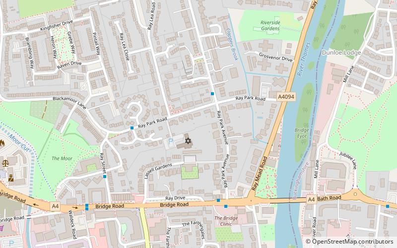
Map
Map
Facts and practical information
Maidenhead Synagogue is a Reform synagogue based in Maidenhead, Berkshire, England. It serves Berkshire, Buckinghamshire and surrounding districts west of London in the Thames Valley area. ()
Coordinates: 51°31'34"N, 0°42'22"W
Getting there by public transportation
Public transportation stops near this location
- Bus
- Train
 Bus
Bus
- Calculate routeMaidenhead Bridge 4 min walk
- Calculate routeWaldeck Road 7 min walk
- Calculate routeEllington Road 11 min walk
- Calculate routeBridge Avenue 14 min walk
- Calculate routeMaidenhead 23 min walk
- Calculate routeTaplow 27 min walk
- Calculate routeFurze Platt 28 min walk
Day trips


Frequently Asked Questions (FAQ)
Which popular attractions are close to Maidenhead Synagogue?
Nearby attractions include Maidenhead Bridge, Maidenhead (6 min walk), Maidenhead Railway Bridge, Maidenhead (10 min walk), St Mary's Church, Maidenhead (15 min walk), Maidenhead Waterways, Maidenhead (16 min walk).
How to get to Maidenhead Synagogue by public transport?
The nearest stations to Maidenhead Synagogue:
Bus
Train
Bus
- Maidenhead Bridge • Lines: 15, 4, 63, 68 (4 min walk)
- Waldeck Road • Lines: 15, 4, 63, 68 (7 min walk)
Train
- Maidenhead (23 min walk)
- Taplow (27 min walk)