Wether Down, South Downs National Park
#45 among attractions in South Downs National Park
![Wether Down location map](https://tzmedia.b-cdn.net/media/images/static-maps/gb/50_9733_-1_0396.jpg)
Facts and practical information
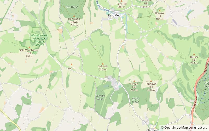
Wether Down is one of the highest hills in the county of Hampshire, England, and in the South Downs, rising to 234 metres above sea level. ()
South Downs National Park United Kingdom
Wether Down – popular in the area (distance from the attraction)
Nearby attractions include: Butser Ancient Farm, Meon Valley Railway Line, Buriton Chalk Pit, Old Winchester Hill.
3.4 miSEMuseum, Historical placeButser Ancient Farm, South Downs National Park
88 min walk • Butser Ancient Farm is an archaeological open-air museum located near Petersfield in Hampshire, southern England. Butser features experimental reconstructions of prehistoric, Romano-British and Anglo-Saxon buildings.
3.4 miNWHiking, Hiking trailMeon Valley Railway Line, South Downs National Park
87 min walk • The Meon Valley Railway was a cross-country railway in Hampshire, England, that ran for 22+1⁄4 miles between Alton and Fareham, closely following the course of the River Meon.
3.6 miEParkBuriton Chalk Pit, Petersfield
93 min walk • Buriton Chalk Pit is a 5.7-hectare Local Nature Reserve near Buriton in Hampshire. It is owned by East Hampshire District Council and managed by Hampshire Countryside Service.
2.2 miWForts and castlesOld Winchester Hill, South Downs National Park
57 min walk • Old Winchester Hill is a 66.2-hectare biological Site of Special Scientific Interest in Hampshire. It is a Nature Conservation Review site, Grade I, and a national nature reserve. Part of it is a scheduled monument.
2.6 miENature, Natural attraction, HillButser Hill, South Downs National Park
66 min walk • Butser Hill is a 239.7-hectare biological and geological Site of Special Scientific Interest south-west of Petersfield in Hampshire. It is a national nature reserve and a Special Area of Conservation.
1.6 miNChurch, Gothic architectureAll Saints Church, South Downs National Park
41 min walk • All Saints Church is an Anglican parish church in the village of East Meon, Hampshire, England. It is a Grade I listed building and the oldest building in the village, lying so tight to a hill to the north of the village – part of the South Downs – that there was no room for a north aisle to be built.
2.5 miENature, Natural attraction, HillSouth Downs, South Downs National Park
65 min walk • The South Downs are a range of chalk hills that extends for about 260 square miles across the south-eastern coastal counties of England from the Itchen valley of Hampshire in the west to Beachy Head, in the Eastbourne Downland Estate, East Sussex, in the east.
3.4 miSEWindmillChalton Windmill, South Downs National Park
87 min walk • Chalton Windmill is a Grade II listed tower mill on the top of Windmill Hill at Chalton, Hampshire, England, which has been converted to residential use.
2.4 miEParkOxenbourne Down, Petersfield
61 min walk • Oxenbourne Down, Clanfield is a 84.8-hectare Local Nature Reserve north of Clanfield in Hampshire. It is owned and managed by Hampshire County Council.
1.7 miNWNature, Natural attraction, HillHenwood Down, South Downs National Park
43 min walk • Henwood Down is one of the highest points in the county of Hampshire, England, and in the South Downs, reaching a height of 201 metres above sea level. Its prominence of 64 metres qualifies it as a Tump.
3.4 miSEArchaeological siteWindmill Hill, South Downs National Park
87 min walk • Windmill Hill is a chalk hill running alongside the A3 in the East Hampshire district of Hampshire, England, overlooking Chalton to the east, and Clanfield to the west.