Great Borne
#3239 among destinations in the United Kingdom

Facts and practical information
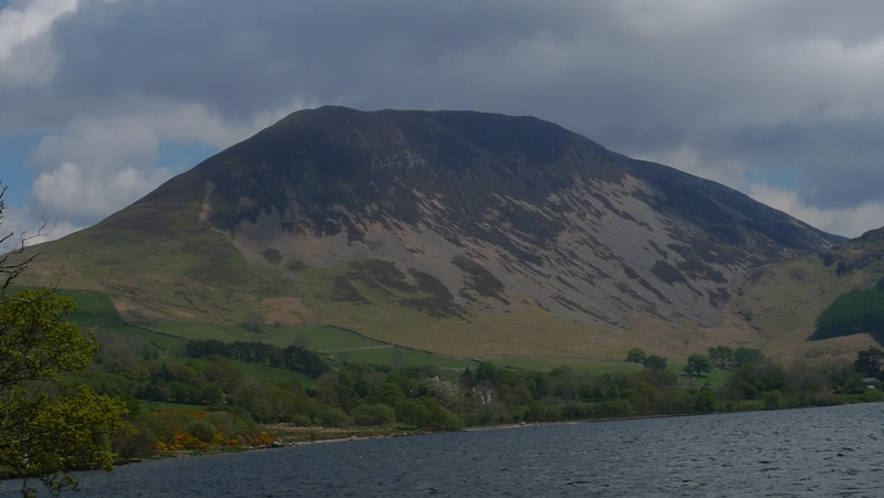
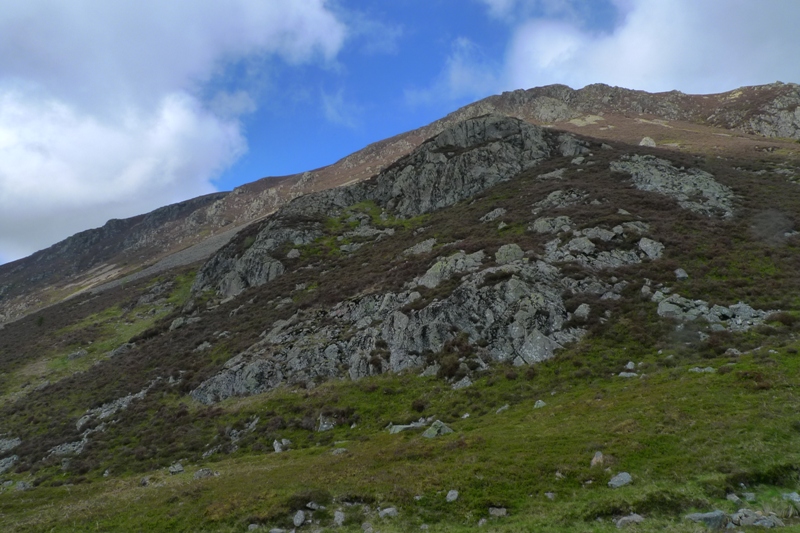
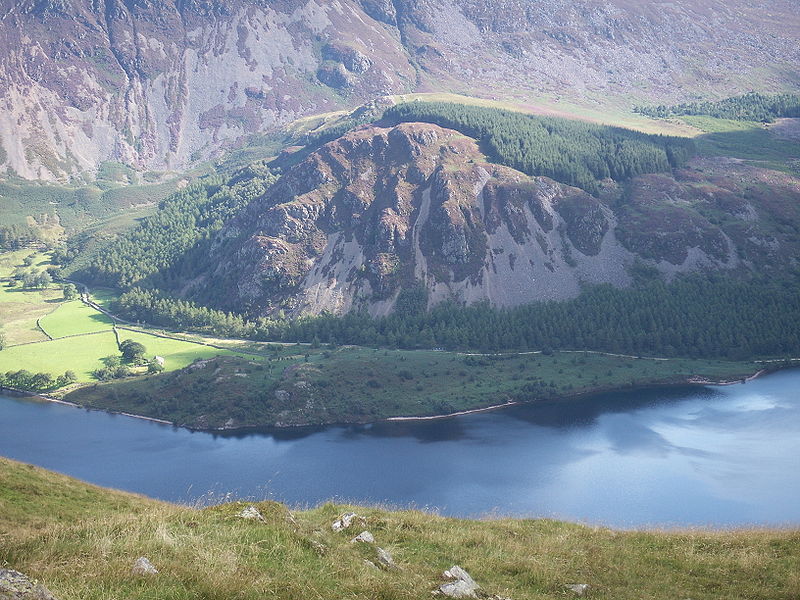
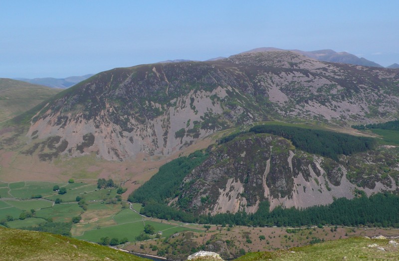
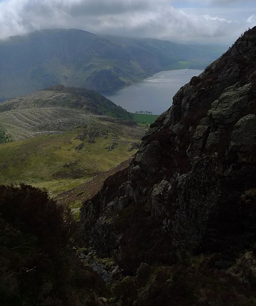
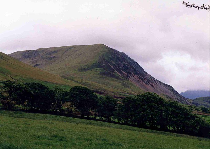
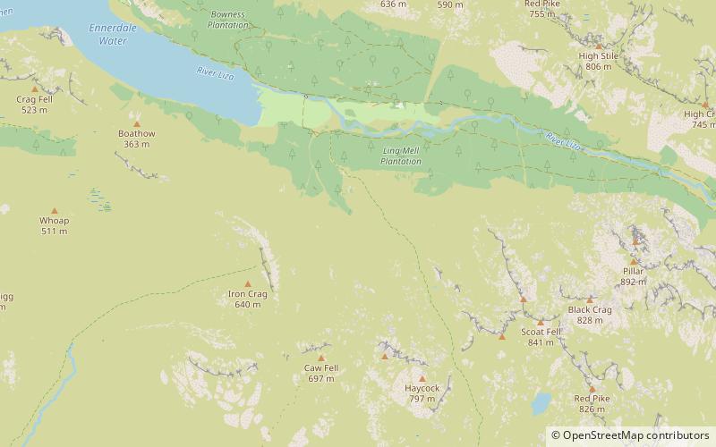
Great Borne is a fell in the English Lake District with a height of 616 m. It is a rather secluded hill situated at the western end of the long ridge which divides the Ennerdale and Buttermere valleys. ()
EnglandUnited Kingdom
Great Borne – popular in the area (distance from the attraction)
Nearby attractions include: Crummock Water, Scale Force, Bleaberry Tarn, Ennerdale Water.
 Nature, Natural attraction, Lake
Crummock Water
68 min walk • Crummock Water is a lake in the Lake District in Cumbria, North West England situated between Buttermere to the south and Loweswater to the north. Crummock Water is 2.5 miles long, 0.6 miles wide and 140 feet deep. The River Cocker is considered to start at the north of the lake, before then flowing into Lorton Vale.
 Natural attraction, Nature and wildlife, Park
Scale Force, Lake District National Park
44 min walk • Scale Force is considered the highest waterfall in the English Lake District. Opinions vary about how its precise height is calculated, but the total height is normally stated as 170 feet. It lies on the stream Scale Beck.
 Nature, Natural attraction, Lake
Bleaberry Tarn
69 min walk • Bleaberry Tarn is a small natural mountain tarn near Buttermere in the English Lake District. Located at NY165154, it lies in a corrie below the Lakeland fells of Red Pike and High Stile, backed by Chapel Crags on the ridge between them.
 Nature, Natural attraction, Lake
Ennerdale Water
35 min walk • Ennerdale Water is the most westerly lake in the Lake District National Park in Cumbria, England. It is a glacial lake, with a maximum depth of 150 feet, and is ½ mile to a mile wide and 2½ miles long.
 Nature, Natural attraction, Lake
Cogra Moss
68 min walk • Cogra Moss is a shallow reservoir to the east of the village of Lamplugh on the western edge of the English Lake District. It was created by the damming of Rakegill Beck in about 1880, though its function as a water supply ceased in 1975.
 Protected area
Pillar and Ennerdale Fells, Lake District National Park
63 min walk • Pillar and Ennerdale Fells is a Site of Special Scientific Interest in Ennerdale, Cumbria, England. Protected for its biological interest, the site is named after Pillar, which at 892 metres is the eighth-highest mountain in the Lake District, and other fells in the same range.
 Hill
HillKnock Murton, Frizington
63 min walk • Knock Murton or Murton Fell is a hill of 464.4 metres in the north west of the Lake District, England. It lies in the Borough of Copeland in Cumbria. It is classed as a Fellranger, being described by Richards in his book series. It is among the 21 such summits which are not included in Wainwright's list of 214.
 Nature, Natural attraction, Cliff
Crag Fell
55 min walk • Crag Fell is a hill in the English Lake District. It is part of the Lank Rigg group, standing above Ennerdale Water in the Western Fells.
 Nature, Natural attraction, Hill
Red Pike
60 min walk • Red Pike is a fell in the High Stile range in the western English Lake District, which separates Ennerdale from the valley of Buttermere and Crummock Water. It is 2,476 ft high.
 Nature, Natural attraction, Hill
Rannerdale Knotts
75 min walk • Rannerdale Knotts is a fell in the Lake District of Cumbria, England. Rising from the Buttermere valley, it is one of the smaller Cumbrian hills and is overlooked by a number of surrounding fells, such as Grasmoor, Whiteless Pike and, across Crummock Water, Mellbreak and the High Stile ridge.
 Nature, Natural attraction, Hill
High Stile
78 min walk • High Stile is a mountain in the western part of the Lake District in North West England. It is the eleventh-highest English Marilyn, standing 807 metres high, and has a relative height of 362 metres.


