Crag Fell
Map

Gallery

Facts and practical information
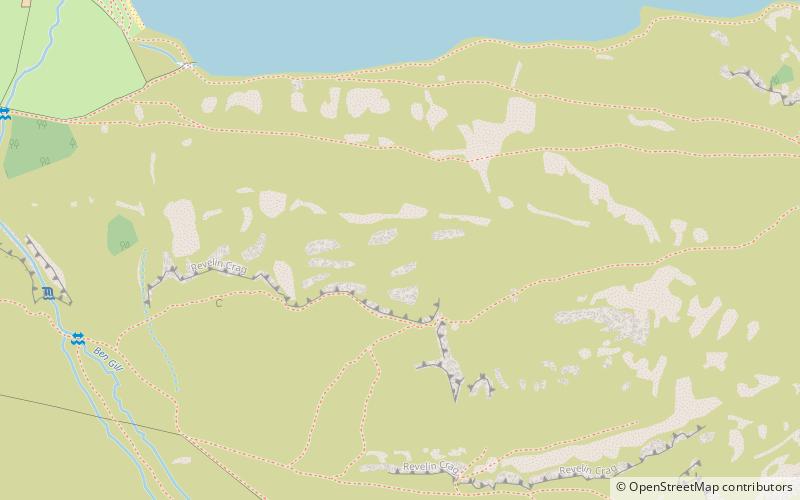
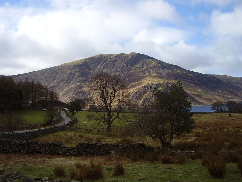
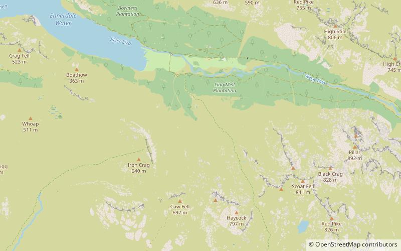
Crag Fell is a hill in the English Lake District. It is part of the Lank Rigg group, standing above Ennerdale Water in the Western Fells. The craggy northern face above the lake gives the fell its name, prominent in views from the car park at Bowness Knott. Ascents are commonly made from the foot of Ennerdale Water. ()
Elevation: 1715 ftCoordinates: 54°31'15"N, 3°24'9"W
Location
England
ContactAdd
Social media
Add
Day trips
Crag Fell – popular in the area (distance from the attraction)
Nearby attractions include: Scale Force, Ennerdale Water, Haycock, Cogra Moss.


