Pendlebury, Manchester

Gallery (3)
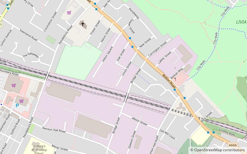
Map

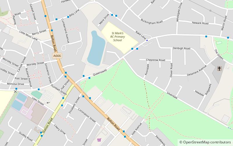
Map
Gallery
Facts and practical information
Pendlebury is a town in the City of Salford, Greater Manchester, England. The population at the 2011 Census was 13,069. It lies 4.1 miles northwest of Manchester city centre, 3.4 miles northwest of Salford, and 5.9 miles southeast of Bolton. ()
Address
Salford (Pendlebury)Manchester
ContactAdd
Social media
Add
Getting there by public transportation
Public transportation stops near this location
- Bus
- Train
 Bus
Bus
- Calculate routeSwinton 11 min walk
- Calculate routeClifton 21 min walk
- Calculate routeMoorside 27 min walk
- Calculate routeChorley Road/Swinton Post Office 12 min walk
- Calculate routeDorchester Road/Manchester Road 13 min walk
- Calculate routeBarton Road/Manchester Road 13 min walk
- Calculate routeWorsley Road/Chorley Road 13 min walk
Maps MetrolinkMaps
 Metrolink / Rail
MetrolinkMapsMetrolink / RailDay trips


Frequently Asked Questions (FAQ)
Which popular attractions are close to Pendlebury?
Nearby attractions include Victoria Park, Manchester (10 min walk), Pendlebury, Manchester (11 min walk), Salford, Manchester (11 min walk), Swinton, Manchester (13 min walk).
How to get to Pendlebury by public transport?
The nearest stations to Pendlebury:
Train
Bus
Train
- Swinton (11 min walk)
- Clifton (21 min walk)
Bus
- Chorley Road/Swinton Post Office • Lines: 29 (12 min walk)
- Dorchester Road/Manchester Road • Lines: 29 (13 min walk)