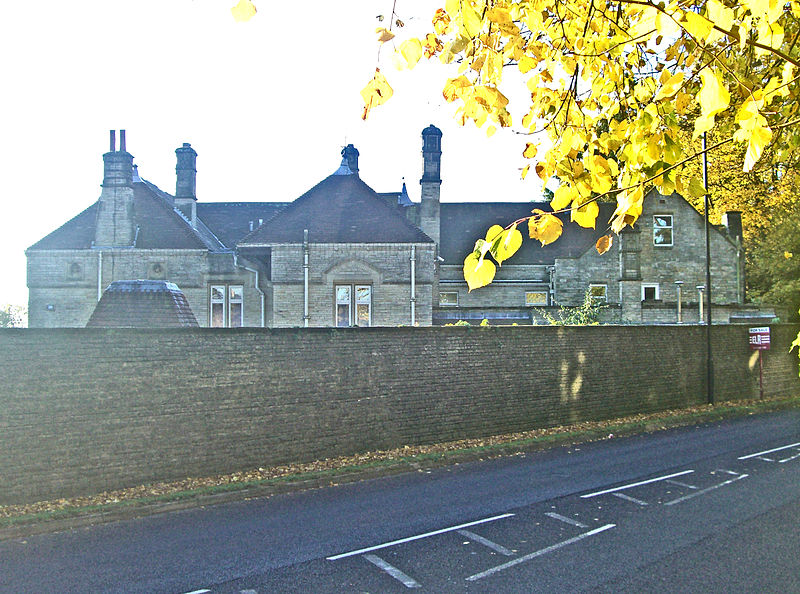
Parkhead Hall, Sheffield

Gallery (3)
Map
Map
Gallery
Facts and practical information
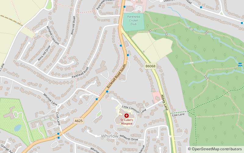
Parkhead Hall, formerly Parkhead House and The Woodlands, is an English country house situated in the City of Sheffield in South Yorkshire. The hall is a grade II listed building and is located in the suburb of Whirlow close to the junction of Ecclesall Road South and Abbey Lane. The hall is difficult to view for the general public, being surrounded by high walls and housing, although a glimpse of its northern side can be seen from Ecclesall Road South. ()
Coordinates: 53°20'42"N, 1°31'20"W
Getting there by public transportation
Public transportation stops near this location
- Bus
 Bus
Bus
- Calculate routeEcclesall Road South/Little Common Road 2 min walk
- Calculate routeEcclesall Road South/Abbey Lane 2 min walk
- Calculate routeEcclesall Road South/Parkhead Crescent 6 min walk
Day trips


Frequently Asked Questions (FAQ)
Which popular attractions are close to Parkhead Hall?
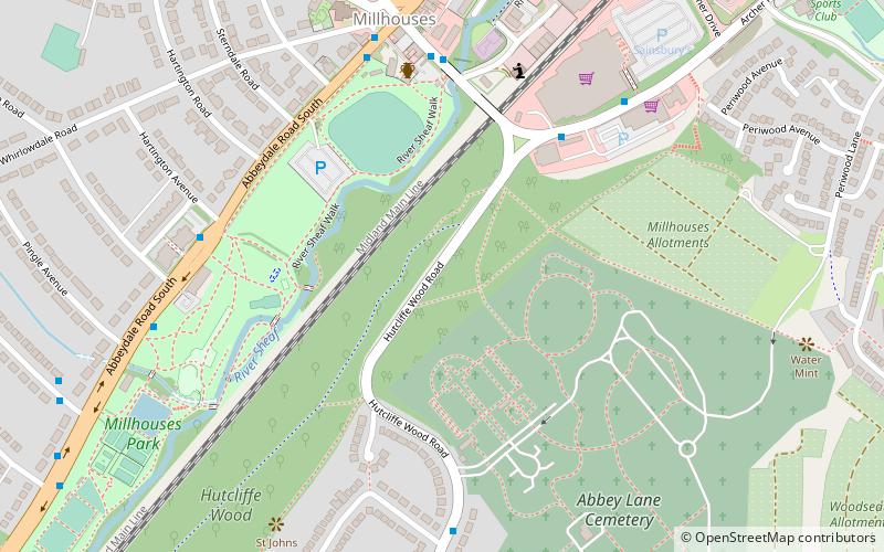
Nearby attractions include Ecclesall Woods, Sheffield (11 min walk), Abbeydale Industrial Hamlet, Sheffield (23 min walk), Millhouses Park, Sheffield (23 min walk), All Saints Church, Sheffield (24 min walk).
How to get to Parkhead Hall by public transport?
The nearest stations to Parkhead Hall:
Bus
Bus
- Ecclesall Road South/Little Common Road • Lines: 271, 272, 65, 81 (2 min walk)
- Ecclesall Road South/Abbey Lane • Lines: 271, 272, 65, 81, 82, C6 (2 min walk)