Tissington Trail, Peak District

Gallery (4)
Map

Map
Gallery
Facts and practical information
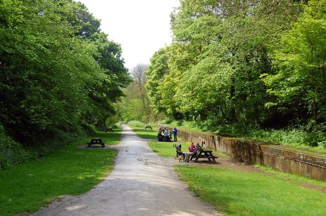
The Tissington Trail is a bridleway, footpath and cycleway in Derbyshire, England, along part of the trackbed of the former railway line connecting Ashbourne to Buxton. It takes its name from the village of Tissington, which it skirts. Opened in 1971, and now a part of the National Cycle Network, it stretches for 13 miles from Parsley Hay (53.1706°N 1.7828°W / 53.1706; -1.7828) in the north to Ashbourne (53.0196°N 1.7397°W / 53.0196; -1.7397) in the south. ()
Coordinates: 53°10'14"N, 1°46'58"W
Address
Peak District
ContactAdd
Social media
Add
Day trips


Frequently Asked Questions (FAQ)
Which popular attractions are close to Tissington Trail?
Nearby attractions include Gib Hill, Bakewell (21 min walk), Arbor Low, Peak District (23 min walk).