Lanacombe, Exmoor National Park
#77 among attractions in Exmoor National Park


Facts and practical information
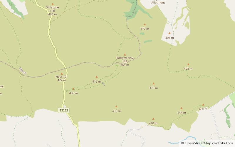
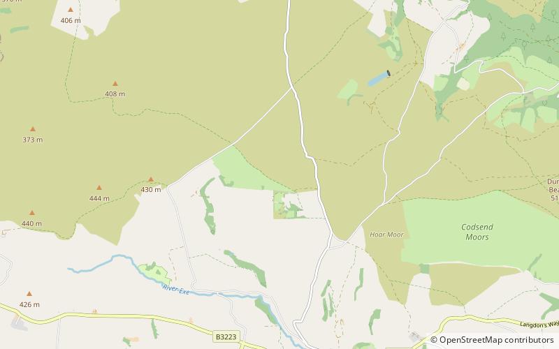
Lanacombe is an area of Exmoor in Somerset, South West England. It is the site of several standing stones and cairns which have been scheduled as ancient monuments. ()
Exmoor National Park United Kingdom
Lanacombe – popular in the area (distance from the attraction)
Nearby attractions include: Foreland Point, Church of St Mary, Landacre Bridge, Robber's Bridge.
 Protected area
Foreland Point, Lynton
118 min walk • Foreland Point is a rocky headland in Devon near Lynmouth, and is the most northerly point along the Devon and Exmoor coast. The highest cliff is 89 metres above the high tide, although the highest point of the entire headland is near Countisbury at 302 metres.
 Church
Church of St Mary, Exmoor National Park
73 min walk • The Anglican Church of St Mary in Oare, Somerset, England, was built in the 15th century. It is a Grade II* listed building.
 Bridge
Landacre Bridge, Exmoor National Park
119 min walk • Landacre Bridge carries Landacre Lane across the River Barle near Withypool on Exmoor in the English county of Somerset. It has been scheduled as an ancient monument and Grade II* listed building.
 Bridge
Robber's Bridge, Exmoor National Park
77 min walk • Robber's Bridge, or Robbers Bridge, is an old masonry arch bridge in the royal forest of Exmoor near Doone Valley, carrying the minor road from Porlock Hill to Oare. It crosses Weir Water and is located down a steep, wooded lane beneath overhanging trees.
 Nature, Natural attraction, Valley
East Lyn Valley, Exmoor National Park
90 min walk • East Lyn Valley is a valley of Exmoor, covering northern Devon and western Somerset, England. The East Lyn River is formed from several main tributaries including Hoar Oak Water beginning near Weir Water.
 Nature, Natural attraction, Forest
Barle Valley, Exmoor National Park
101 min walk • Barle Valley is a 1,540 acres Site of Special Scientific Interest within Exmoor National Park, situated in the counties of Devon and Somerset through which the River Barle flows.
 Forts and castles
Cow Castle, Exmoor National Park
90 min walk • Cow Castle is an Iron Age hillfort 5.75 kilometres West South West of Exford, Somerset, England within the Exmoor National Park. It is a Scheduled Monument. It has been added to the heritage at Risk register because of the risk from bracken.
 Bridge
Malmsmead Bridge, Exmoor National Park
76 min walk • Malmsmead Bridge is a 17th-century stone bridge which crosses Badgworthy Water in the hamlet of Malmsmead, on the road between Oare and Brendon.
 Archaeological site
Porlock Stone Circle, Exmoor National Park
97 min walk • Porlock Stone Circle is a stone circle located on Exmoor, near the village of Porlock in the south-western English county of Somerset.
 Archaeological site
Almsworthy Common, Exmoor National Park
92 min walk • Almsworthy Common is a small area of unenclosed land in Exmoor, south-western England. It contains a number of archaeological sites.
 Archaeological site
Culbone Stone, Exmoor National Park
100 min walk • The Culbone Stone, an early mediaeval standing stone, is close to Culbone in the English county of Somerset. The stone is made from Hangman grit, a local sandstone, and has a wheeled ring cross carved into it.
