Christchurch trolleybus turntable, Christchurch
Map

Map

Facts and practical information
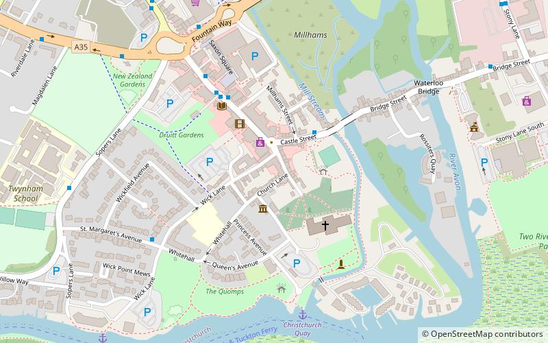
The Christchurch trolleybus turntable formed part of the Bournemouth trolleybus system, which served the town of Bournemouth and its environs, on the south coast of England. It is still in existence, and is now a Grade II listed building. ()
Coordinates: 50°43'60"N, 1°46'33"W
Address
Christchurch Town CentreChristchurch
ContactAdd
Social media
Add
Day trips
Christchurch trolleybus turntable – popular in the area (distance from the attraction)
Nearby attractions include: Christchurch Priory, Red House Museum, Hengistbury Head, Christchurch Castle.
Frequently Asked Questions (FAQ)
Which popular attractions are close to Christchurch trolleybus turntable?
Nearby attractions include Red House Museum, Christchurch (2 min walk), Christchurch Priory, Christchurch (3 min walk), Christchurch Castle, Christchurch (3 min walk), Druitt Hall, Christchurch (4 min walk).
How to get to Christchurch trolleybus turntable by public transport?
The nearest stations to Christchurch trolleybus turntable:
Bus
Train
Bus
- Priory Corner • Lines: 1, 11, 1a, 1aN, 1b, 1N, 23, 24, 31, X1, X2 (2 min walk)
- Christchurch Library • Lines: 1, 11, 125, 1a, 1aN, 1b, 23, 24, 31, 33, X1, X2 (4 min walk)
Train
- Christchurch (14 min walk)


