Dudley Railway Tunnel, Dudley
Map

Map

Facts and practical information
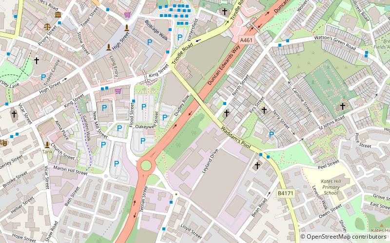
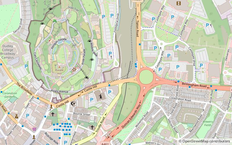
Dudley Railway Tunnel is a railway tunnel located near to the former Dudley railway station in Dudley, West Midlands, England. It was opened in 1850 to allow the Oxford-Worcester-Wolverhampton Line between Stourbridge and Wolverhampton to pass for several hundred yards beneath a hilly area of Dudley which would have been difficult if not impossible to have constructed a railway through. At Dudley the OWWR and South Staffordshire Line to Walsall met. ()
Coordinates: 52°30'30"N, 2°4'43"W
Address
Dudley (St. Thomas's)Dudley
ContactAdd
Social media
Add
Day trips
Dudley Railway Tunnel – popular in the area (distance from the attraction)
Nearby attractions include: Black Country Living Museum, Dudley Castle, JB's, Dudley Council House.
Frequently Asked Questions (FAQ)
Which popular attractions are close to Dudley Railway Tunnel?
Nearby attractions include St John's Church, Dudley (7 min walk), Church of St Edmund, Dudley (7 min walk), Church of St Thomas, Dudley (9 min walk), Dudley Council House, Dudley (9 min walk).
How to get to Dudley Railway Tunnel by public transport?
The nearest stations to Dudley Railway Tunnel:
Bus
Bus
- Dixons Green Rd / St John'S Rd • Lines: X8 (4 min walk)
- King St / Flood St • Lines: 8 (4 min walk)


