Rutherglen Bridge, Glasgow
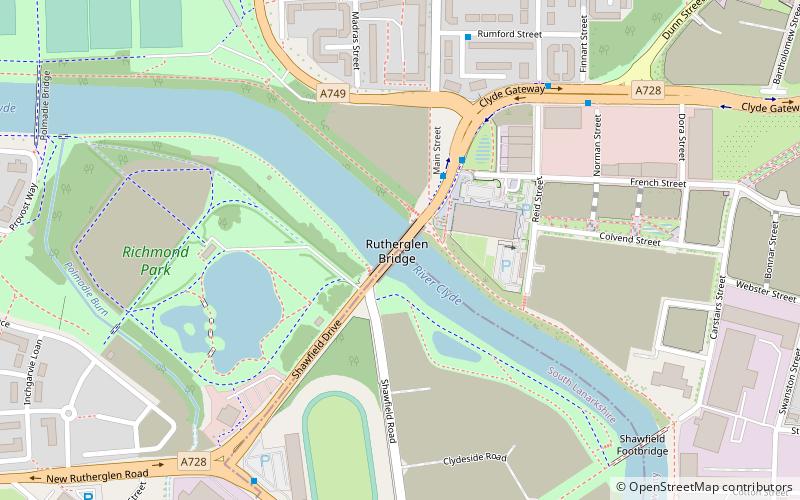
Map
Gallery
Facts and practical information
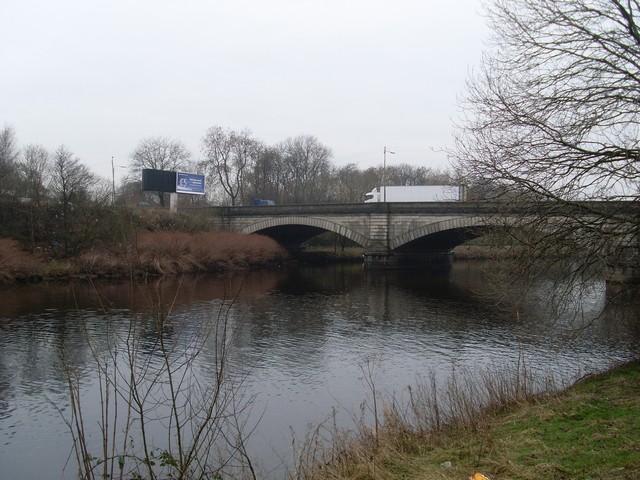
The Rutherglen Bridge or the Shawfield Bridge is a bridge which was built 1893–96, which crosses the River Clyde, in Scotland. ()
Coordinates: 55°50'27"N, 4°13'39"W
Address
East End (Dalmarnock)Glasgow
ContactAdd
Social media
Add
Day trips
Rutherglen Bridge – popular in the area (distance from the attraction)
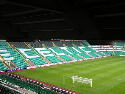
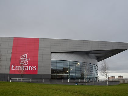
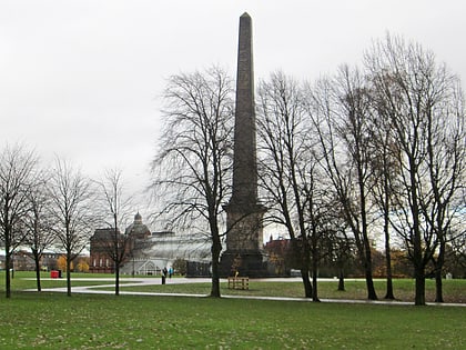
Nearby attractions include: Celtic Park, People's Palace, Glasgow Green, Sir Chris Hoy Velodrome.
Frequently Asked Questions (FAQ)
Which popular attractions are close to Rutherglen Bridge?
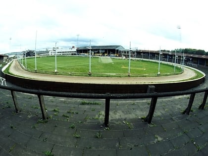
Nearby attractions include Shawfield Stadium, Glasgow (5 min walk), Polmadie Bridge, Glasgow (9 min walk), Sacred Heart Church, Glasgow (11 min walk), Shawfield, Glasgow (14 min walk).
How to get to Rutherglen Bridge by public transport?
The nearest stations to Rutherglen Bridge:
Train
Bus
Metro
Train
- Dalmarnock (11 min walk)
- Bridgeton (14 min walk)
Bus
- Glasgow Green/ Peoples Palace • Lines: c1 (23 min walk)
- Gallowgate / Sword Street • Lines: 2, 61 (26 min walk)
Metro
- St Enoch • Lines: Subway (41 min walk)

