Lousehill Copse, Reading
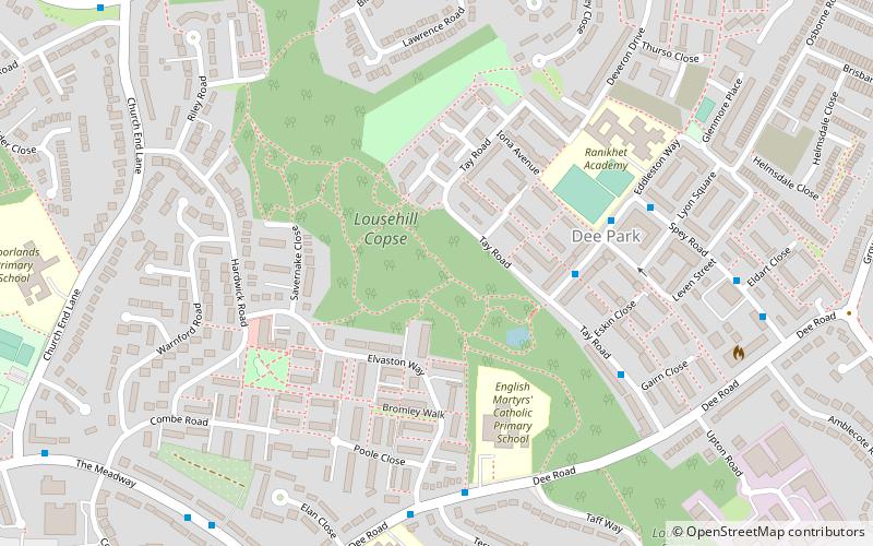
Map

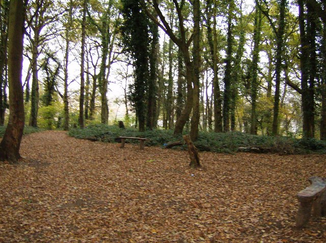
Gallery

Facts and practical information
Lousehill Copse is a local nature reserve in the Tilehurst suburb of the English town of Reading. The nature reserve is 13.03 hectares in size, and is under the management of the Reading Borough Council. The majority of the site comprises natural mature woodland surrounded by housing and featuring a pond, whilst the northern section of the reserve, also known as Comparts Plantation, is a grassy meadow area. To the south the reserve is crossed by Dee Road. ()
Elevation: 299 ft a.s.l.Coordinates: 51°27'20"N, 1°1'16"W
Address
TilehurstReading
ContactAdd
Social media
Add
Day trips
Lousehill Copse – popular in the area (distance from the attraction)
Nearby attractions include: Calcot Park, Oxford Road, Prospect Park, Blundells Copse.
Frequently Asked Questions (FAQ)
Which popular attractions are close to Lousehill Copse?
Nearby attractions include Round Copse, Moor Copse (10 min walk), Blundells Copse, Reading (13 min walk), Krazy Playdays, Reading (14 min walk), Church of St Michael, Reading (15 min walk).
How to get to Lousehill Copse by public transport?
The nearest stations to Lousehill Copse:
Bus
Train
Bus
- Lawrence Road • Lines: 17 (8 min walk)
- Church End Lane • Lines: 17 (10 min walk)
Train
- Tilehurst (30 min walk)


