Mynydd y Betws
Map

Map

Facts and practical information
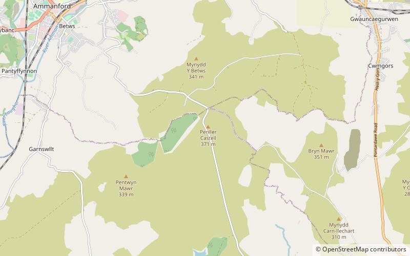
Mynydd y Betws is a mountain or large hill located on the border between Swansea and Carmarthenshire in South Wales, between Ammanford and Clydach. It is an area of upland with large stretches of tussocky grassland. The medieval castle of Penlle'r Castell is located near the highest point and the Mynydd y Betws Wind Farm is prominent with fifteen 110 m wind turbines. ()
Elevation: 1224 ftProminence: 673 ftCoordinates: 51°46'2"N, 3°56'15"W
Location
Wales
ContactAdd
Social media
Add
Day trips
Mynydd y Betws – popular in the area (distance from the attraction)
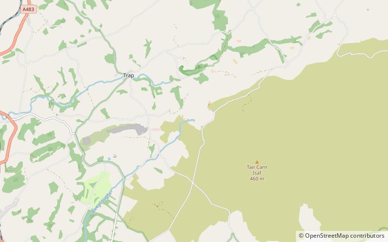
Nearby attractions include: Pontardawe Arts Centre, Gellionnen Chapel, All Saints Church, Tair Carn Uchaf.


