Beacon Hill, Wolverhampton
Map

Map

Facts and practical information
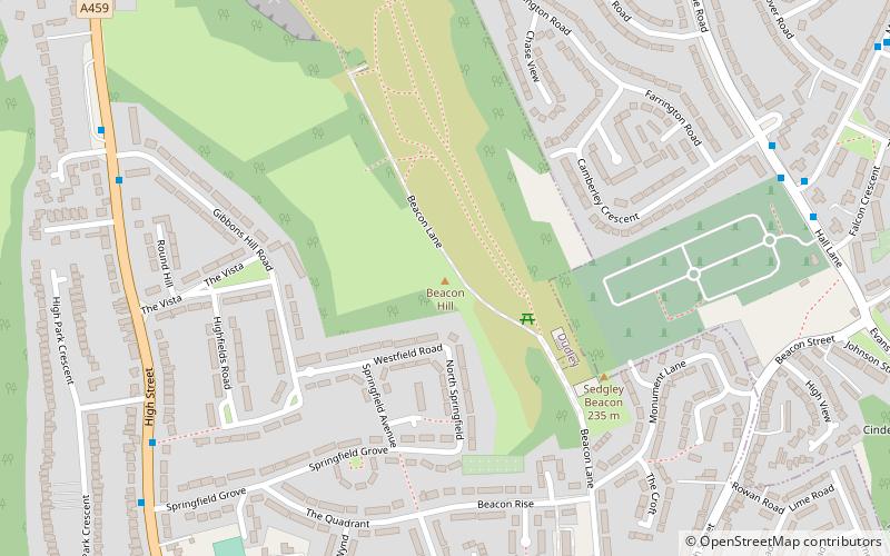
Beacon Hill in Sedgley, England, is one of the highest points in the West Midlands, at 237 metres above sea level. ()
Elevation: 778 ftCoordinates: 52°32'55"N, 2°7'3"W
Day trips
Beacon Hill – popular in the area (distance from the attraction)
Nearby attractions include: Monmore Green Stadium, Baggeridge Country Park, Black Country Geopark, St Bartholomew's Church.
Frequently Asked Questions (FAQ)
Which popular attractions are close to Beacon Hill?
Nearby attractions include Sedgley, Wolverhampton (18 min walk), Alder Coppice, Dudley (20 min walk).
How to get to Beacon Hill by public transport?
The nearest stations to Beacon Hill:
Bus
Bus
- Dovedale Rd / Camberley Crescent • Lines: 224, 81 (8 min walk)
- Wolverhampton Road / Springfield Grove • Lines: 1 (8 min walk)


