Tollerton, Nottingham
Map
Gallery
Facts and practical information
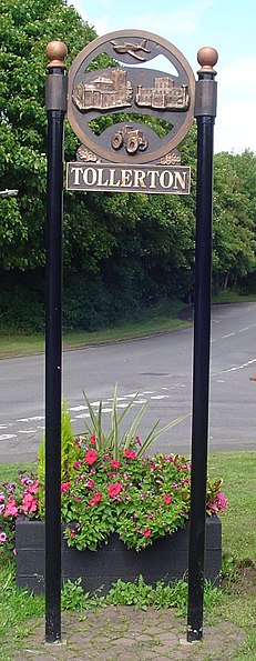
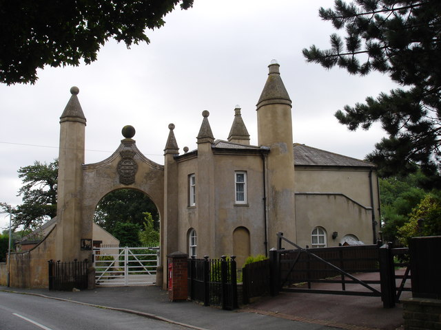
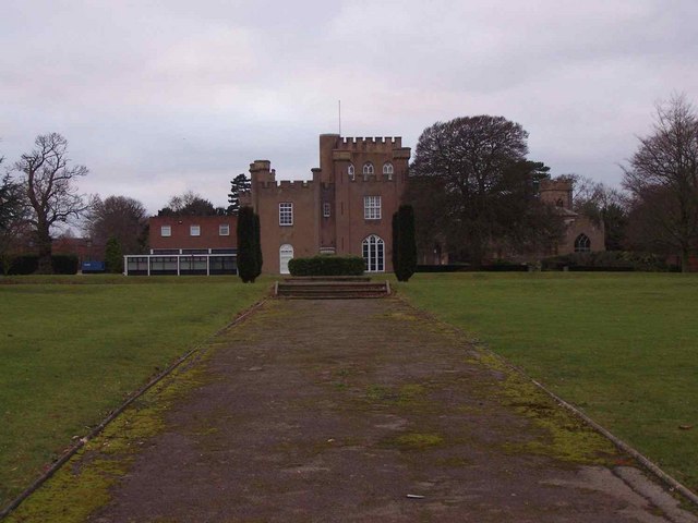
Tollerton is an English village and civil parish in the Rushcliffe district of Nottinghamshire, just south-east of Nottingham. The population of the built-up area in 2011 was 1,544. It was estimated to have risen to 1,655 in 2019. ()
Day trips
Tollerton – popular in the area (distance from the attraction)
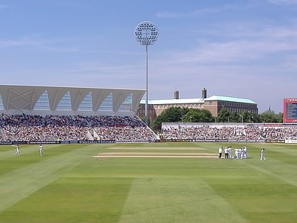
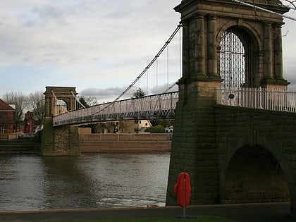
Nearby attractions include: Trent Bridge, Rushcliffe Country Park, Trent Valley Way, All Saints' Church.
Frequently Asked Questions (FAQ)
How to get to Tollerton by public transport?
The nearest stations to Tollerton:
Bus
Bus
- Burnside Grove • Lines: 863 (2 min walk)
- Stanstead Avenue • Lines: 863 (5 min walk)


