Friary United Reformed Church, Nottingham
Map
Map

Facts and practical information
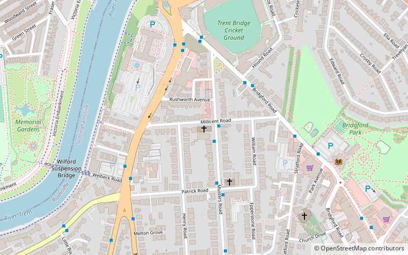
Friary United Reformed church is a church on Musters Road in West Bridgford, Nottingham, built between 1898 and 1901. It is a Grade II listed building. ()
Completed: 1901 (125 years ago)Coordinates: 52°56'3"N, 1°8'0"W
Day trips
Friary United Reformed Church – popular in the area (distance from the attraction)
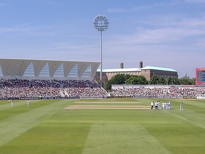
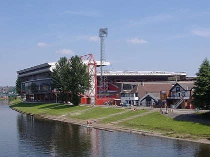
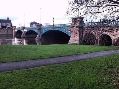
Nearby attractions include: Trent Bridge, City Ground, Meadow Lane Stadium, St Mary's Church.
Frequently Asked Questions (FAQ)
Which popular attractions are close to Friary United Reformed Church?
Nearby attractions include St Giles Church, Nottingham (6 min walk), Wilford Suspension Bridge, Nottingham (7 min walk), City War Memorial, Nottingham (8 min walk), Trent Bridge, Nottingham (8 min walk).
How to get to Friary United Reformed Church by public transport?
The nearest stations to Friary United Reformed Church:
Bus
Tram
Train
Bus
- Patrick Road • Lines: L22, L23 (3 min walk)
- County Hall • Lines: 1, 10, 19, 2, 3, 4, 9, Keyworth Connection, L1, N4, Skylink Express (4 min walk)
Tram
- Meadows Embankment • Lines: 2 (24 min walk)
- Queens Walk • Lines: 2 (24 min walk)
Train
- Nottingham (26 min walk)

